


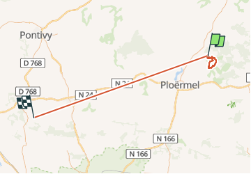

11 km | 13,4 km-effort

Utilisateur


Application GPS de randonnée GRATUITE
 SityTrail
IGN / Instituts géographiques
SityTrail World
Le monde est à vous
Randonnée Marche de 72 km à découvrir à Bretagne, Morbihan, Tréhorenteuc. Cette randonnée est proposée par Raymond DAVID .
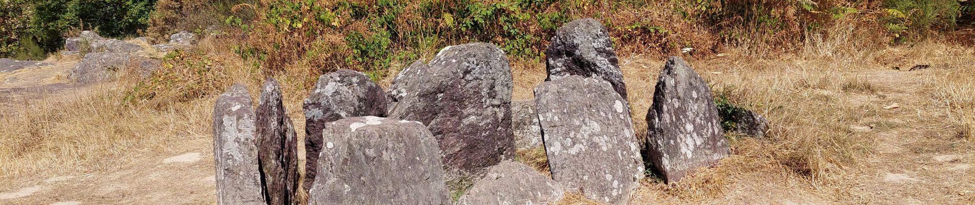
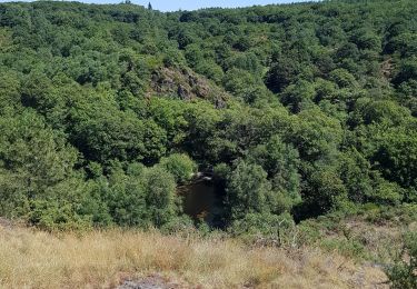
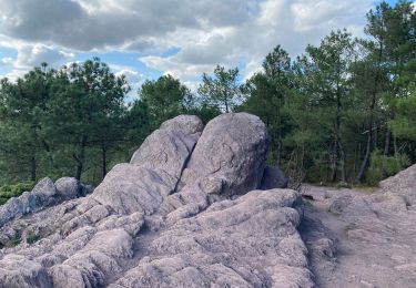
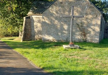
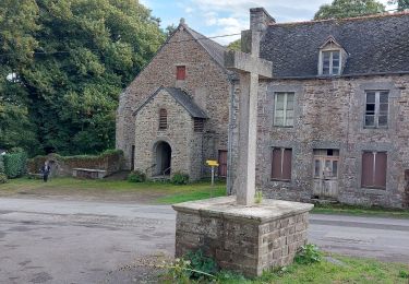
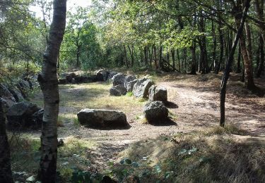
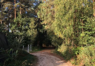
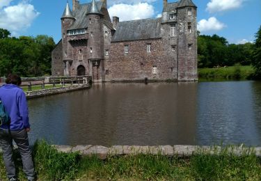
Découverte du Val sans retour, de la chapelle St Jean (de loin, privée), du magnifique Château de Trècesson et de son pigeonnier. Faire le détour pour voir le Hotie ou maison de Viviane. Rando de 15,5 km (et non de 17, 7 car erreur de parcours) dénivelée de 200 m environ


Marche
Marche
Marche
Marche
A pied
Marche
Marche
Marche
Dommage que la trace enregistrée fasse 72kms. Ce serait sympa de corriger