


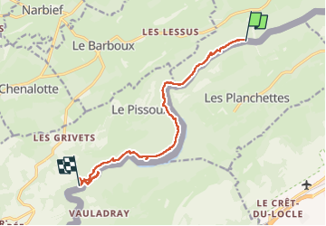

13,1 km | 18,5 km-effort


Utilisateur


Application GPS de randonnée GRATUITE
 SityTrail
IGN / Instituts géographiques
SityTrail World
Le monde est à vous
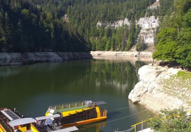
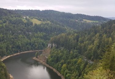
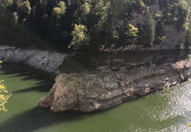
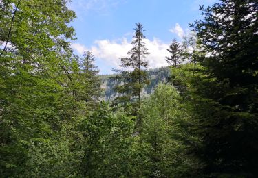
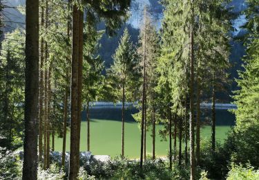
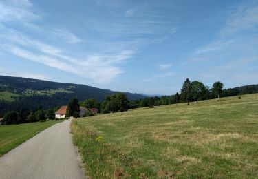
Randonnée Marche de 12,5 km à découvrir à Bourgogne-Franche-Comté, Doubs, Grand'Combe-des-Bois. Cette randonnée est proposée par werth.
A pied
A pied
Marche
Marche
V.T.T.
Marche
Marche
Marche
Marche