


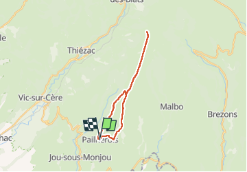

4,7 km | 6,6 km-effort


Utilisateur GUIDE


Application GPS de randonnée GRATUITE
 SityTrail
IGN / Instituts géographiques
SityTrail World
Le monde est à vous
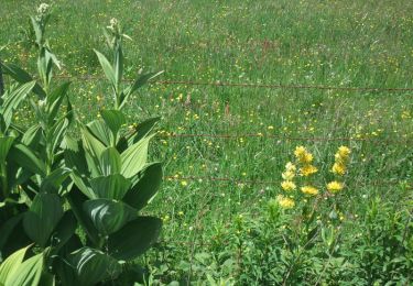
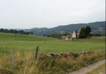
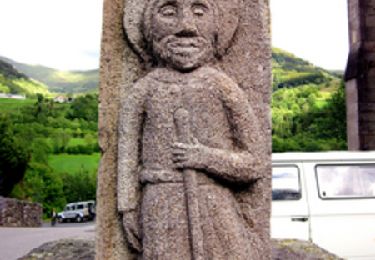
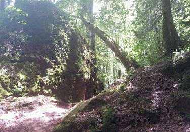
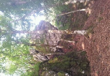
Randonnée Marche de 21 km à découvrir à Auvergne-Rhône-Alpes, Cantal, Pailherols. Cette randonnée est proposée par antignacs.


Marche
Marche
Marche

Marche
Marche
Marche
Marche
Marche
Course à pied