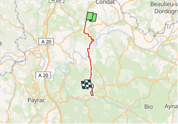

16,5 km | 22 km-effort

Utilisateur


Application GPS de randonnée GRATUITE
 SityTrail
IGN / Instituts géographiques
SityTrail World
Le monde est à vous
Randonnée Marche de 22 km à découvrir à Occitanie, Lot, Martel. Cette randonnée est proposée par Nono55.
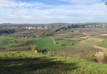
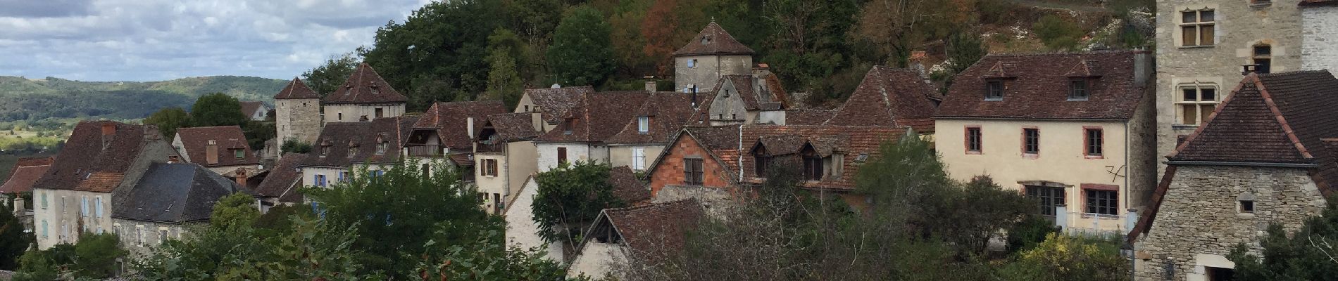
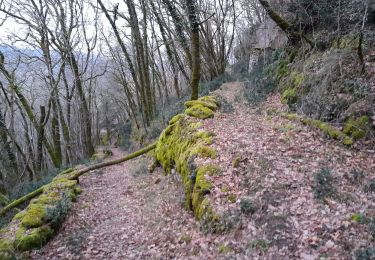
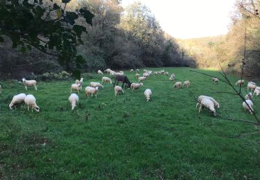
Super chemin botanique sur le haut de Martel
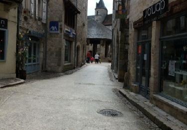
Pour finir trop de route
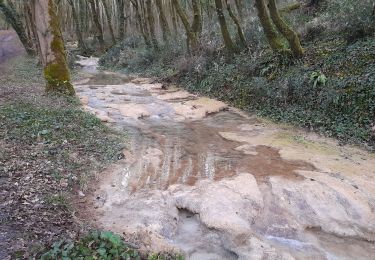
Mais beau chemin dans l ensemble


Marche
Marche
Marche

Marche
V.T.T.

Moto
Marche
Marche