


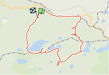

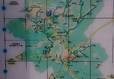
10,7 km | 13,9 km-effort

Utilisateur


Application GPS de randonnée GRATUITE
 SityTrail
IGN / Instituts géographiques
SityTrail World
Le monde est à vous
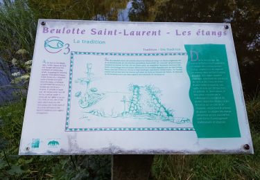
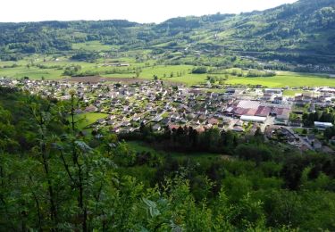
Randonnée Marche de 5,6 km à découvrir à Bourgogne-Franche-Comté, Haute-Saône, Corravillers. Cette randonnée est proposée par annefrance70.
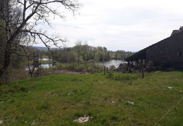
Après l'étang de l'oranger, sentier invisible, horce trace total dans les ronces et le sous-bois très difficile d'accès à pied. Ne pas tenter sans carte.


Marche

Marche
Marche
Marche
Marche
Marche
Autre activité
Marche

Marche