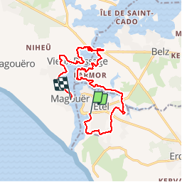

9,7 km | 10,6 km-effort


Utilisateur


Application GPS de randonnée GRATUITE
 SityTrail
IGN / Instituts géographiques
SityTrail World
Le monde est à vous
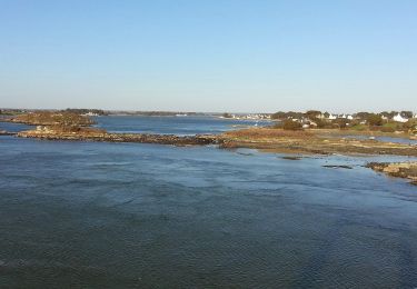
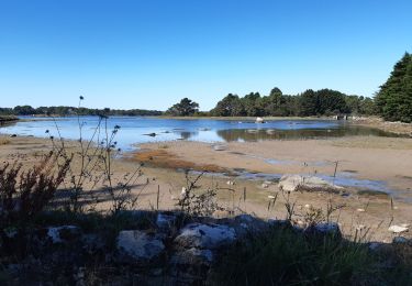
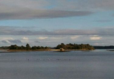
Randonnée Marche de 16 km à découvrir à Bretagne, Morbihan, Étel. Cette randonnée est proposée par yago1404.
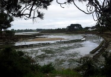
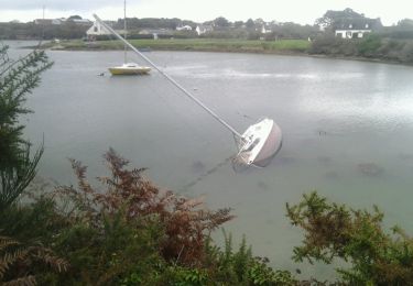
Depuis le plan d'eau, on longe la plage pour ejoindre la gendarmerie et faire le tour de la commune jusqu'au moulins du Sac'h et du Bignac. On longe la rivière du Sac'h puis la Ria jusqu'au pont Lorois avant de rejoindre l'autre rive jusqu'au Magouër.
Marche
Marche
Marche nordique
Marche nordique

Marche

Marche