Randonnée Vélo de route Saint-Vith - Ostbelgien: Route 9 - Sankt-Vither Land - Photo

Ostbelgien: Route 9 - Sankt-Vither Land

 KristofDM
KristofDM

Utilisateur

© OpenStreetMap contributors
Longueur
Longueur
37 km
Altitude max
Altitude max
591 m
Dénivelé positif
Dénivelé positif
562 m
Km-Effort
Km-Effort  
44 km
Altitude min
Altitude min
400 m
Dénivelé négatif
Dénivelé négatif
562 m
Boucle
Boucle
Oui
Date de création :
2022-11-27 08:33:20.6
Dernière modification :
2022-11-27 08:34:22.286

(0 Avis)

Vélo de route
Vélo de route
2h41
Difficulté : Très difficile

Scannez ce code QR pour ouvrir la randonnée dans l'application SityTrail

Application GPS de randonnée GRATUITE

Logo SityTrail SityTrail

IGN / Instituts géographiques

Télécharger SityTrail sur l'App Store Télécharger SityTrail sur Google Play

Logo SityTrail SityTrail World

Le monde est à vous

Télécharger SityTrail sur l'App Store Télécharger SityTrail sur Google Play Télécharger SityTrail sur Huawei AppGallery

À propos

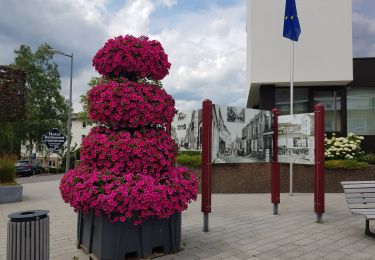
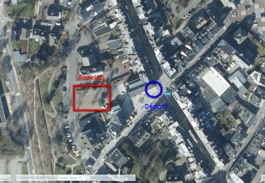
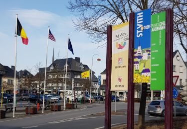
Randonnée Vélo de route de 37 km à découvrir à Wallonie, Liège, Saint-Vith. Cette randonnée est proposée par KristofDM.

Description

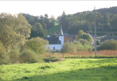
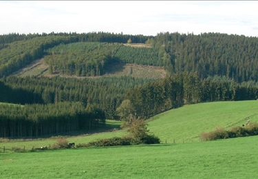
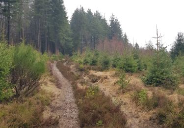
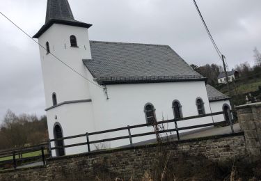
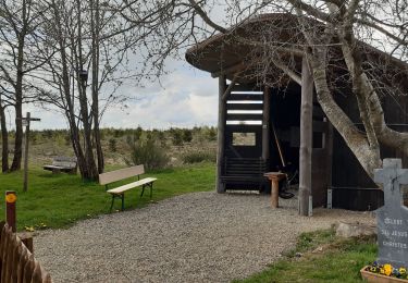
De eerste 10 km fiets je op de Vennbahn richting Waimes.. Aan weerszijden van de oude spoorlijn, die is omgevormd tot een fietspad, heeft u een vrij uitzicht op de uitgestrekte weiden en de moerassige zones van het natuurgebied tussen Born en Montenau. Ook na het verlaten van de Vennbahn word je niet echt ondergedompeld in dichte bossen. Pas na de doortocht door Recht wacht je een lange klim door het uitgestrekte Emmelserwald. Een stop bij het ongewone "Biermuseum" versierd met honderden glazen en bierflessen van over de hele wereld is meer dan de moeite waard. Het ligt op 580 meter hoogte in Rodt. Na dit dorp volgt Neundorf, dat vooral opvalt door de witte kerk en het hoge viaduct. De terugkeer naar het startpunt komt nu in zicht.

Profil altimétrique

Localisation

Pays :
Belgique
Région :
Wallonie
Département/Province :
Liège
Commune :
Saint-Vith
Localité :
Unknown
Départ:(UTM)
295614 ; 5573862 (32U) N.

Randonnées à proximité

Randonnée Marche Saint-Vith - St Vith - Photo
Marche
GUIDE
mumu.larandonneuse

Marche

Facile
(1)
Saint-Vith, Wallonie, Liège, Belgique
16,1 km | 19,5 km-effort
4h 26min
Oui
Randonnée Marche Saint-Vith - RB-Lg-08_Lommersweiler_via-racc - Photo
Marche
PRO

Marche

Très difficile
(2)
Saint-Vith, Wallonie, Liège, Belgique
16,3 km | 22 km-effort
4h 55min
Oui
Randonnée Marche Saint-Vith - RB-Lg-08_Lommersweiler - Photo
Marche
PRO

Marche

Très difficile
(3)
Saint-Vith, Wallonie, Liège, Belgique
21 km | 28 km-effort
6h 18min
Oui
Randonnée Marche Saint-Vith - Rodt - Chiens de traineau  - Photo
Marche
GUIDE
mumu.larandonneuse

Marche

Moyen
Saint-Vith, Wallonie, Liège, Belgique
8,4 km | 10,6 km-effort
1h 52min
Oui
Randonnée Marche Saint-Vith - 20230103 - TOTEMUS Saint-Vith - 6.7 Km - Photo
Marche
GUIDE
pierreh01

Marche

Moyen
(1)
Saint-Vith, Wallonie, Liège, Belgique
6,7 km | 8,9 km-effort
2h 7min
Oui
Randonnée Marche Saint-Vith - 20220904 - Rodt 4.7 Km - Photo
Marche
GUIDE
pierreh01

Marche

Facile
Saint-Vith, Wallonie, Liège, Belgique
4,7 km | 5,9 km-effort
1h 20min
Oui
Randonnée Marche Saint-Vith - St-Vith - Photo
Marche
GUIDE
mumu.larandonneuse

Marche

Facile
(1)
Saint-Vith, Wallonie, Liège, Belgique
15,9 km | 20 km-effort
4h 34min
Oui
Randonnée Marche Saint-Vith - Burgknof circuit - Photo
Marche
vvinzz

Marche

Facile
Saint-Vith, Wallonie, Liège, Belgique
16,1 km | 21 km-effort
3h 23min
Oui
Randonnée Cyclotourisme Amblève - AMEL autour,  en vélo 🚵‍♂️ - Photo
Cyclotourisme
pierre.huvelle

Cyclotourisme

Moyen
Amblève, Wallonie, Liège, Belgique
38 km | 45 km-effort
5h 1min
Oui


Fermer
Mes abonnements