


Langres

MAUVAGE Patrick
Utilisateur

Longueur
788 m

Altitude max
472 m

Dénivelé positif
11 m
Km-Effort
941 m

Altitude min
453 m

Dénivelé négatif
13 m
Boucle
Non
Date de création :
2023-01-03 13:29:22.0
Dernière modification :
2023-01-03 13:45:59.355
16m
Difficulté : Facile

Application GPS de randonnée GRATUITE
 SityTrail
IGN / Instituts géographiques
SityTrail Plus
Le monde est à vous
À propos
Randonnée Marche de 788 m à découvrir à Grand Est, Haute-Marne, Langres. Cette randonnée est proposée par MAUVAGE Patrick.
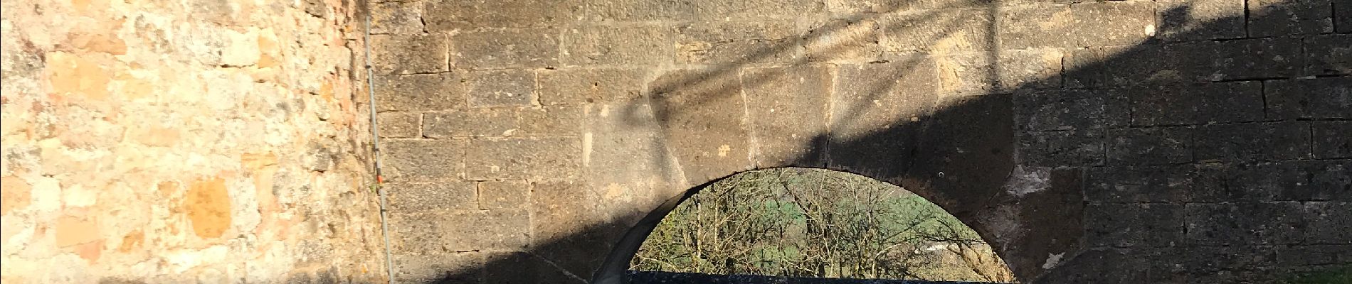
Photos


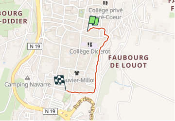
Localisation
Pays :
France
Région :
Grand Est
Département/Province :
Haute-Marne
Commune :
Langres
Localité :
Langres
Départ:(Dec)
Départ:(UTM)
674603 ; 5303696 (31T) N.
Commentaires