


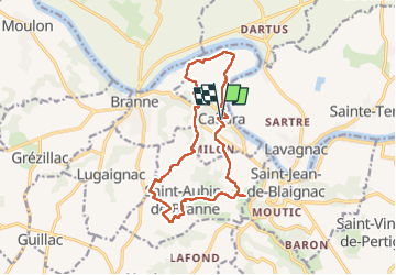

11,8 km | 14,2 km-effort

Utilisateur


Application GPS de randonnée GRATUITE
 SityTrail
IGN / Instituts géographiques
SityTrail World
Le monde est à vous
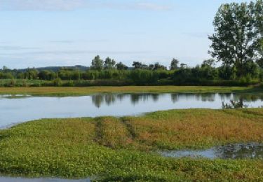
Randonnée Marche de 14,6 km à découvrir à Nouvelle-Aquitaine, Gironde, Cabara. Cette randonnée est proposée par bedous.
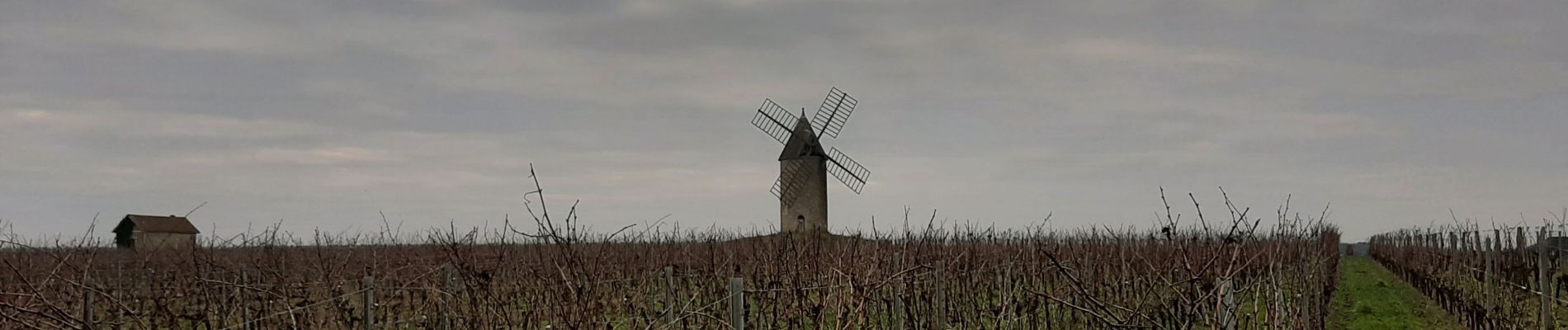
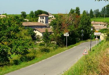
Randonnée entre les vignes ,les bois, le long de la Garonne. Vues sur de superbes demeures, de belles églises, un moulin à vent.


Marche

Marche
Marche
V.T.T.

Marche

Course à pied
Marche
Marche
Marche