


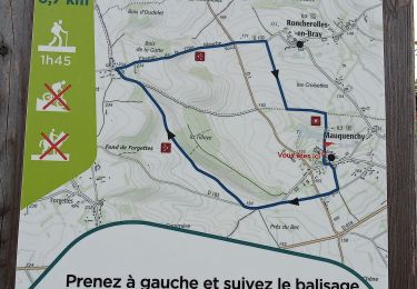
8 km | 8,9 km-effort

Utilisateur


Application GPS de randonnée GRATUITE
 SityTrail
IGN / Instituts géographiques
SityTrail World
Le monde est à vous
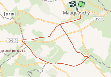
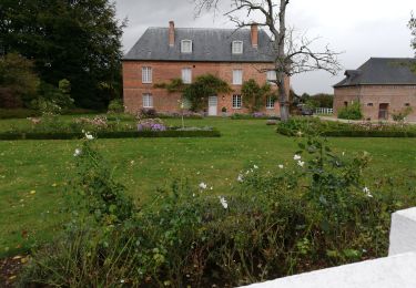
Randonnée Marche de 9,6 km à découvrir à Normandie, Seine-Maritime, Mauquenchy. Cette randonnée est proposée par nicole.reine@wanadoo.fr.
départ église


Marche
Marche

Marche

A pied

Cyclotourisme
Marche

Marche
Marche
Marche