


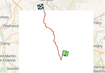

12 km | 14,5 km-effort


Utilisateur


Application GPS de randonnée GRATUITE
 SityTrail
IGN / Instituts géographiques
SityTrail World
Le monde est à vous
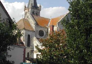
Randonnée Randonnée à dos d'âne de 22 km à découvrir à Bourgogne-Franche-Comté, Yonne, Saint-Maurice-Thizouaille. Cette randonnée est proposée par aucamus.

V.T.T.
Marche

Marche
Marche
Marche
Marche
V.T.T.

Autre activité

Marche