Randonnée Marche nordique Tessy-Bocage - rando haras pont farcy - Photo

rando haras pont farcy

 Morel
Morel

Utilisateur

© OpenStreetMap contributors
Longueur
Longueur
9,9 km
Altitude max
Altitude max
111 m
Dénivelé positif
Dénivelé positif
150 m
Km-Effort
Km-Effort  
11,9 km
Altitude min
Altitude min
48 m
Dénivelé négatif
Dénivelé négatif
149 m
Boucle
Boucle
Non
Date de création :
2023-04-14 08:20:30.849
Dernière modification :
2023-04-14 10:22:44.047

(1 Avis)

Marche nordique
Marche nordique
2h01
Difficulté : Très facile

Scannez ce code QR pour ouvrir la randonnée dans l'application SityTrail

Application GPS de randonnée GRATUITE

Logo SityTrail SityTrail

IGN / Instituts géographiques

Télécharger SityTrail sur l'App Store Télécharger SityTrail sur Google Play

Logo SityTrail SityTrail World

Le monde est à vous

Télécharger SityTrail sur l'App Store Télécharger SityTrail sur Google Play Télécharger SityTrail sur Huawei AppGallery

À propos

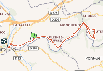
Randonnée Marche nordique de 9,9 km à découvrir à Normandie, Manche, Tessy-Bocage. Cette randonnée est proposée par Morel .

Profil altimétrique

Photos

Localisation

Pays :
France
Région :
Normandie
Département/Province :
Manche
Commune :
Tessy-Bocage
Localité :
Pont-Farcy
Départ:(UTM)
644915 ; 5422592 (30U) N.

Commentaires

Veuillez vous connecter pour laisser un commentaire ou une note


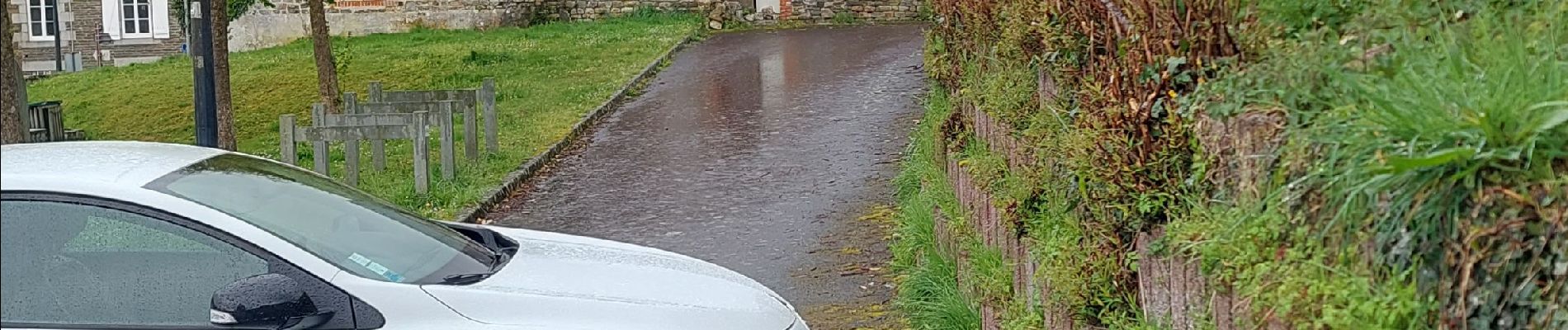
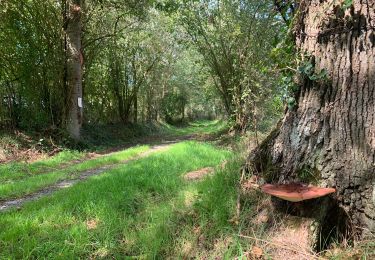
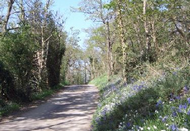
la saison pour cette randonnée est magnifique


Randonnées à proximité

Randonnée Marche Domjean - Rando gorge de la Vire  - Photo
Marche
zefreefly

Marche

Facile
Domjean, Normandie, Manche, France
35 km | 42 km-effort
10h 25min
Oui
Randonnée Marche Tessy-Bocage - Tessy-sur-Vire - C 13-V - Photo
Marche
tracegps

Marche

Facile
Tessy-Bocage, Normandie, Manche, France
3,4 km | 4,1 km-effort
1h 0min
Oui
Randonnée V.T.T. Tessy-Bocage - Tessy-sur-Vire - C 13-II - Photo
V.T.T.
tracegps

V.T.T.

Facile
Tessy-Bocage, Normandie, Manche, France
8,8 km | 10,5 km-effort
1h 0min
Oui
Randonnée Marche Tessy-Bocage - Tessy-sur-Vire - C 13-II - Photo
Marche
tracegps

Marche

Moyen
Tessy-Bocage, Normandie, Manche, France
8,8 km | 10,5 km-effort
2h 15min
Oui
Randonnée Marche Tessy-Bocage - Tessy-sur-Vire - C 13-I - Photo
Marche
tracegps

Marche

Facile
Tessy-Bocage, Normandie, Manche, France
3,6 km | 4,7 km-effort
1h 0min
Oui
Randonnée V.T.T. Fourneaux - Circuit de Fourneaux - C11-I - Photo
V.T.T.
tracegps

V.T.T.

Facile
Fourneaux, Normandie, Manche, France
5,6 km | 6,9 km-effort
30min
Oui
Randonnée Marche Fourneaux - Circuit de Fourneaux - C11-I - Photo
Marche
tracegps

Marche

Facile
Fourneaux, Normandie, Manche, France
5,6 km | 6,9 km-effort
1h 30min
Oui
Randonnée V.T.T. Beuvrigny - Circuit de Beuvrigny - Photo
V.T.T.
tracegps

V.T.T.

Moyen
Beuvrigny, Normandie, Manche, France
12,1 km | 15,5 km-effort
1h 30min
Oui
Randonnée Marche Beuvrigny - Circuit de Beuvrigny - Photo
Marche
tracegps

Marche

Moyen
Beuvrigny, Normandie, Manche, France
12,1 km | 15,5 km-effort
3h 0min
Oui


Fermer
Mes abonnements