


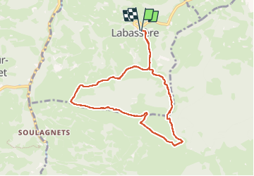
G3 Labassère 2023

LouisROGER
Utilisateur GUIDE

Longueur
8,8 km

Altitude max
1162 m

Dénivelé positif
482 m
Km-Effort
15,2 km

Altitude min
785 m

Dénivelé négatif
483 m
Boucle
Oui
Date de création :
2023-04-28 08:15:26.46
Dernière modification :
2023-04-28 13:52:44.015
5h36
Difficulté : Difficile

Application GPS de randonnée GRATUITE
 SityTrail
IGN / Instituts géographiques
SityTrail Plus
Le monde est à vous
À propos
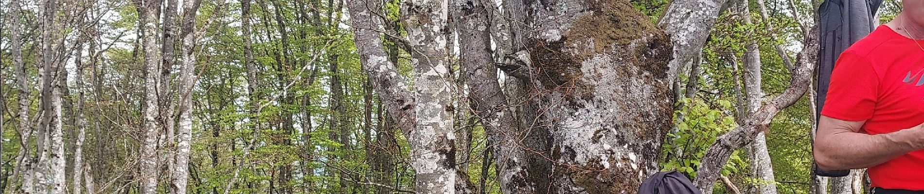
Randonnée Marche de 8,8 km à découvrir à Occitanie, Hautes-Pyrénées, Labassère. Cette randonnée est proposée par LouisROGER.
Photos


Localisation
Pays :
France
Région :
Occitanie
Département/Province :
Hautes-Pyrénées
Commune :
Labassère
Localité :
Unknown
Départ:(Dec)
Départ:(UTM)
263543 ; 4771396 (31T) N.
Commentaires