


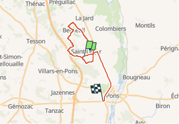

10,9 km | 12,4 km-effort

Utilisateur


Application GPS de randonnée GRATUITE
 SityTrail
IGN / Instituts géographiques
SityTrail World
Le monde est à vous
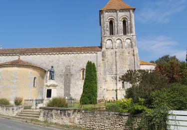
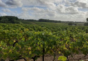
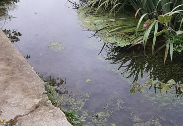
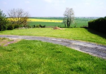
Randonnée Marche de 22 km à découvrir à Nouvelle-Aquitaine, Charente-Maritime, Saint-Léger. Cette randonnée est proposée par jpland17800.

Marche
Marche
Marche
Marche
Marche
V.T.T.
Marche
Marche

Marche