


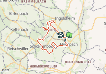

19,8 km | 23 km-effort


Utilisateur


Application GPS de randonnée GRATUITE
 SityTrail
IGN / Instituts géographiques
SityTrail World
Le monde est à vous
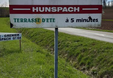
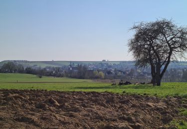
Randonnée Marche de 12,7 km à découvrir à Grand Est, Bas-Rhin, Hunspach. Cette randonnée est proposée par MathieuBourgois.
13km 200D
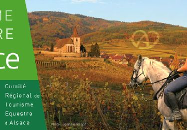
Randonnée équestre

V.T.T.
Marche
Marche

V.T.T.

Cheval
V.T.T.

Marche
Marche