


16,3 km | 18,3 km-effort

Utilisateur


Application GPS de randonnée GRATUITE
 SityTrail
IGN / Instituts géographiques
SityTrail World
Le monde est à vous
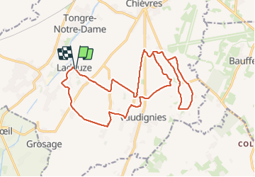
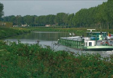
Randonnée Marche de 19,8 km à découvrir à Wallonie, Hainaut, Chièvres. Cette randonnée est proposée par jeangulu.
Organisateur : LE ROITET _ HT 060.
- 28e Marche du Roitelet.
- Marche ACHO.
Point de départ : Centre Culturel et Sportif _ Rue de la Liberté 23 _ [ 7950 ] - LADEUZE ( CHIEVRES ).
Carte IGN : 38/6.
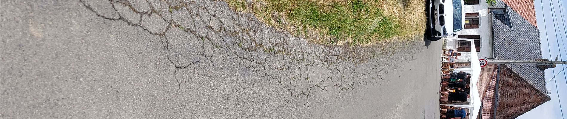
 _ Marche Fédérale _ HT _ 18/06/2023 - Photo 1")
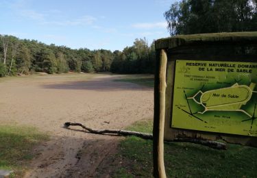
 _ Marche Fédérale _ HT _ 18/06/2023 - Photo 2")
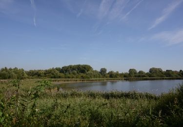
 _ Marche Fédérale _ HT _ 18/06/2023 - Photo 3")
Marche

Marche

Marche
Marche

Cheval

A pied

A pied
Marche

Marche