


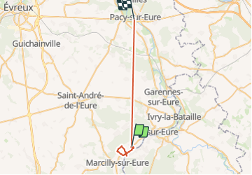

27 km | 31 km-effort

Utilisateur


Application GPS de randonnée GRATUITE
 SityTrail
IGN / Instituts géographiques
SityTrail World
Le monde est à vous
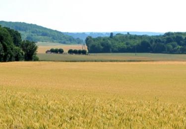
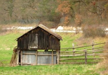
Randonnée Marche de 27 km à découvrir à Normandie, Eure, Croth. Cette randonnée est proposée par JamesVautier.
sympa, mais marquage très succinct et chemin pas entretenu

V.T.T.
Marche
V.T.T.

V.T.T.
V.T.T.
V.T.T.

Marche
Marche