


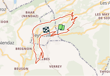

12,8 km | 18 km-effort


Utilisateur


Application GPS de randonnée GRATUITE
 SityTrail
IGN / Instituts géographiques
SityTrail World
Le monde est à vous
Randonnée Marche de 9,8 km à découvrir à Valais, Sion, Veysonnaz. Cette randonnée est proposée par gerard28dupitaval.
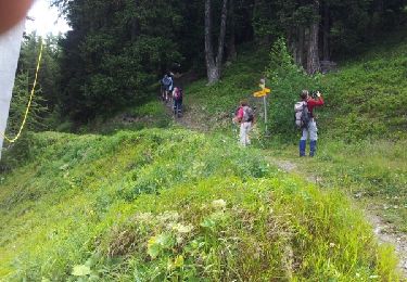
rando famille

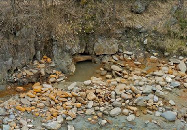
Marche
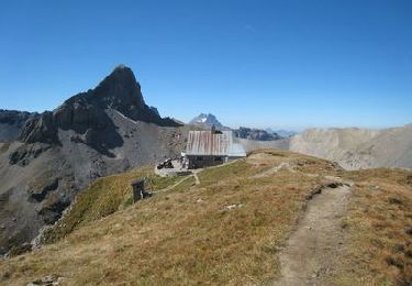
Marche

V.T.T.
Marche
V.T.T.
Marche