


Col de Plazerwaesel - sigle rouge/blanc/rouge direction Mittlach - FA Schnepfenried et retour par le Refuge de Widenpark

patrickbeyrath
Utilisateur
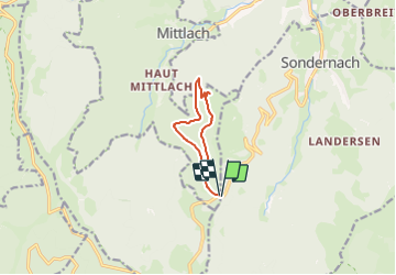

Longueur
7,7 km

Altitude max
1194 m

Dénivelé positif
325 m
Km-Effort
12 km

Altitude min
946 m

Dénivelé négatif
325 m
Boucle
Oui
Date de création :
2023-07-28 05:42:27.642
Dernière modification :
2023-07-28 06:57:29.424
2h44
Difficulté : Difficile

Application GPS de randonnée GRATUITE
 SityTrail
IGN / Instituts géographiques
SityTrail Plus
Le monde est à vous
À propos
Randonnée Marche de 7,7 km à découvrir à Grand Est, Haut-Rhin, Sondernach. Cette randonnée est proposée par patrickbeyrath.
Localisation
Pays :
France
Région :
Grand Est
Département/Province :
Haut-Rhin
Commune :
Sondernach
Localité :
Unknown
Départ:(Dec)
Départ:(UTM)
353942 ; 5314763 (32T) N.
Commentaires