


12,9 km | 21 km-effort


Utilisateur


Application GPS de randonnée GRATUITE
 SityTrail
IGN / Instituts géographiques
SityTrail World
Le monde est à vous
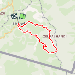
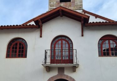
Randonnée Marche de 14,6 km à découvrir à Nouvelle-Aquitaine, Pyrénées-Atlantiques, Urepel. Cette randonnée est proposée par DECHAMPD.
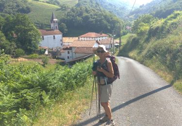
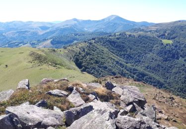
Parcours effectué le 8 janv 2015. depuis Urepel, Gai¨neko Carrica Preoskoene, Madaria,col d'Hauzay, Harriondoko Kaskoa, Harriondoa, Etcholakatoren, Cristobalénéa, Lassaénéa, Franchichénéa
Marche
A pied
Marche
Marche
Marche
Marche
Marche
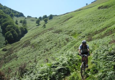
V.T.T.
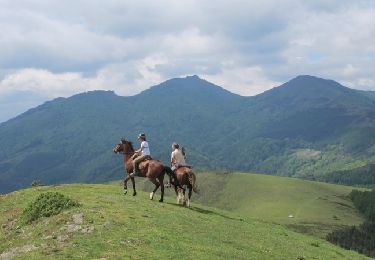
Cheval