


12,9 km | 15,4 km-effort


Utilisateur


Application GPS de randonnée GRATUITE
 SityTrail
IGN / Instituts géographiques
SityTrail World
Le monde est à vous
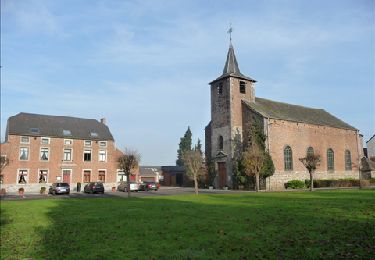
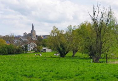
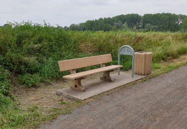
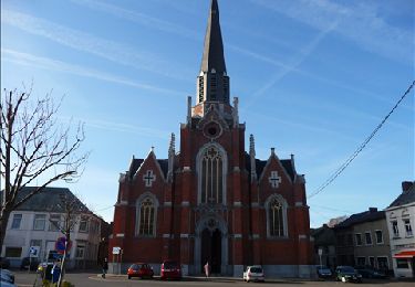
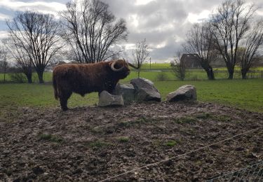
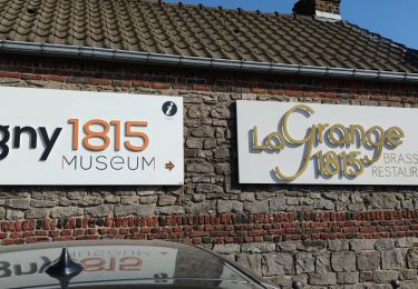
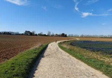
Randonnée Marche de 15,2 km à découvrir à Wallonie, Namur, Sombreffe. Cette randonnée est proposée par jeangulu.
Organisateur : Football club de Ligny - Julien Vervotte - 0475 722 875.
Point de départ : Rue du Grand Centrale [ 5240 ].
Localité : LIGNY.
Province :Namur.
Entité : Sombreffe.
Carte IGN : 47/1.
Marche
Marche
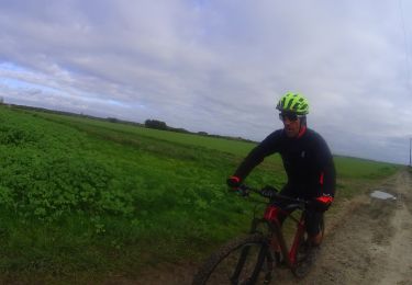
V.T.T.
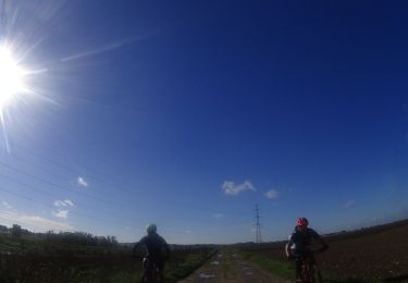
V.T.T.
Marche
Marche
Marche
Marche