Randonnée Marche Saint-Sauveur-le-Vicomte - St Sauveur Besneville boucle - Photo

St Sauveur Besneville boucle

 chessyca
chessyca

Utilisateur

© OpenStreetMap contributors
Longueur
Longueur
13,2 km
Altitude max
Altitude max
115 m
Dénivelé positif
Dénivelé positif
176 m
Km-Effort
Km-Effort  
15,5 km
Altitude min
Altitude min
22 m
Dénivelé négatif
Dénivelé négatif
175 m
Boucle
Boucle
Oui
Date de création :
2023-08-13 10:14:53.349
Dernière modification :
2023-08-27 20:06:36.17

(0 Avis)

Marche
Marche
3h21
Difficulté : Facile

Scannez ce code QR pour ouvrir la randonnée dans l'application SityTrail

Application GPS de randonnée GRATUITE

Logo SityTrail SityTrail

IGN / Instituts géographiques

Télécharger SityTrail sur l'App Store Télécharger SityTrail sur Google Play

Logo SityTrail SityTrail World

Le monde est à vous

Télécharger SityTrail sur l'App Store Télécharger SityTrail sur Google Play Télécharger SityTrail sur Huawei AppGallery

À propos

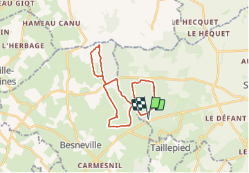
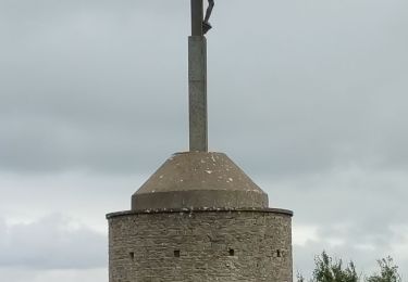
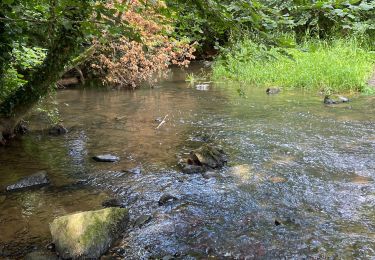
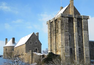
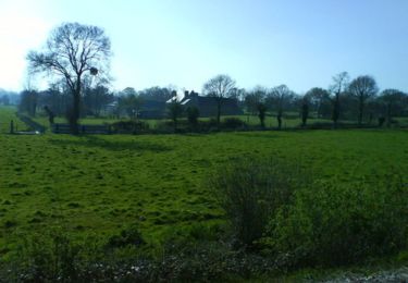
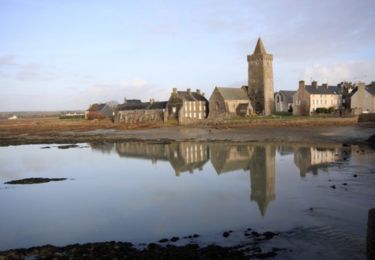
Randonnée Marche de 13,2 km à découvrir à Normandie, Manche, Saint-Sauveur-le-Vicomte. Cette randonnée est proposée par chessyca.

Profil altimétrique

Photos

Localisation

Pays :
France
Région :
Normandie
Département/Province :
Manche
Commune :
Saint-Sauveur-le-Vicomte
Localité :
Unknown
Départ:(UTM)
602075 ; 5470213 (30U) N.

Randonnées à proximité

Randonnée Marche Doville - Boucle du Mont de Doville - Photo
Marche
prv

Marche

Très facile
(1)
Doville, Normandie, Manche, France
12,1 km | 14,7 km-effort
2h 32min
Oui
Randonnée Marche Doville - doville le 21 /09/2019 - Photo
Marche
jmp76700

Marche

Très facile
(1)
Doville, Normandie, Manche, France
10,8 km | 13,4 km-effort
3h 20min
Non
Randonnée Marche Canville-la-Rocque - Canville la rocque - Photo
Marche
Marie-Claire-mcp

Marche

Moyen
Canville-la-Rocque, Normandie, Manche, France
9,1 km | 10,2 km-effort
2h 19min
Oui
Randonnée Marche Besneville - Besneville  - Photo
Marche
PatRando

Marche

Moyen
Besneville, Normandie, Manche, France
11,7 km | 13,7 km-effort
2h 25min
Non
Randonnée Marche Doville - Mont doville  - Photo
Marche
joelinou

Marche

Difficile
Doville, Normandie, Manche, France
12,5 km | 15,1 km-effort
3h 37min
Non
Randonnée Marche Doville - Le Mont de Doville - Photo
Marche
neoroll44

Marche

Moyen
Doville, Normandie, Manche, France
11,3 km | 14 km-effort
3h 10min
Oui
Randonnée V.T.T. Saint-Sauveur-le-Vicomte - Balade dans le canton de Barbey d''Aurevilly - St Sauveur le Vicomte  - Photo
V.T.T.
tracegps

V.T.T.

Moyen
Saint-Sauveur-le-Vicomte, Normandie, Manche, France
34 km | 40 km-effort
2h 30min
Oui
Randonnée V.T.T. Saint-Sauveur-le-Vicomte - Sortie en forêt à St Sauveur le Vicomte - Photo
V.T.T.
tracegps

V.T.T.

Moyen
Saint-Sauveur-le-Vicomte, Normandie, Manche, France
29 km | 34 km-effort
2h 19min
Oui
Randonnée V.T.T. Saint-Sauveur-le-Vicomte - Entre Saint Sauveur le Vicomte et Portbail - Photo
V.T.T.
tracegps

V.T.T.

Difficile
Saint-Sauveur-le-Vicomte, Normandie, Manche, France
51 km | 58 km-effort
3h 0min
Oui


Fermer
Mes abonnements