


Étape 4 - Refuge Deffeyes - Planaval

i20
Utilisateur
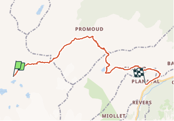

Longueur
16,2 km

Altitude max
2855 m

Dénivelé positif
1113 m
Km-Effort
34 km

Altitude min
1534 m

Dénivelé négatif
2043 m
Boucle
Non
Date de création :
2023-08-14 04:42:36.388
Dernière modification :
2023-08-14 14:14:19.958
8h44
Difficulté : Très difficile

Application GPS de randonnée GRATUITE
 SityTrail
IGN / Instituts géographiques
SityTrail Plus
Le monde est à vous
À propos
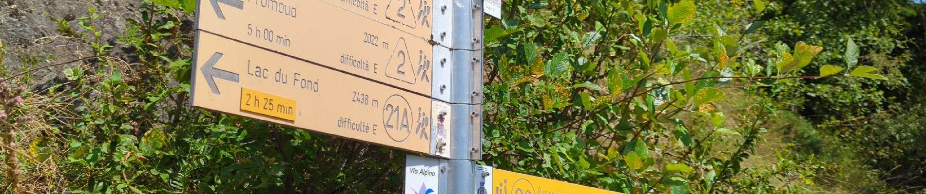
Randonnée Marche de 16,2 km à découvrir à Vallée d'Aoste, Inconnu, La Thuile. Cette randonnée est proposée par i20.
Photos


Localisation
Pays :
Italie
Région :
Vallée d'Aoste
Département/Province :
Inconnu
Commune :
La Thuile
Localité :
Unknown
Départ:(Dec)
Départ:(UTM)
343146 ; 5059960 (32T) N.
Commentaires