


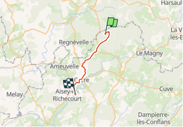

17,6 km | 22 km-effort


Utilisateur


Application GPS de randonnée GRATUITE
 SityTrail
IGN / Instituts géographiques
SityTrail World
Le monde est à vous
Randonnée Marche de 19,4 km à découvrir à Bourgogne-Franche-Comté, Haute-Saône, Passavant-la-Rochère. Cette randonnée est proposée par jcbridet.
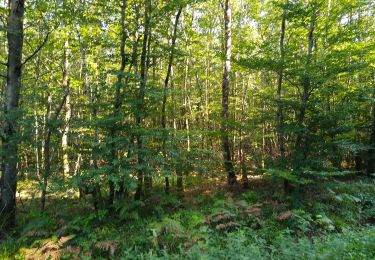
champignons, en famille.
Marche
Marche
