


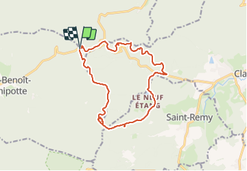

21 km | 28 km-effort


Utilisateur


Application GPS de randonnée GRATUITE
 SityTrail
IGN / Instituts géographiques
SityTrail World
Le monde est à vous
Randonnée Randonnée équestre de 15,2 km à découvrir à Grand Est, Vosges, Saint-Benoît-la-Chipotte. Cette randonnée est proposée par ACPL.
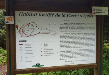
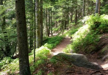
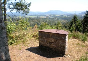
Observatoire point de vue, pause repas a la fontaine des chasseurs (asséchée en cette période). Quelques chemins de chèvres et passages serré (attention aux débutants). Magnifiques chemins.

V.T.T.
V.T.T.
V.T.T.
V.T.T.

Cheval
Randonnée équestre

Marche
V.T.T.
V.T.T.