


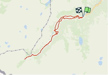

11,4 km | 17,5 km-effort

Utilisateur


Application GPS de randonnée GRATUITE
 SityTrail
IGN / Instituts géographiques
SityTrail World
Le monde est à vous
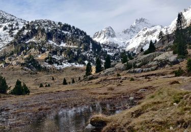
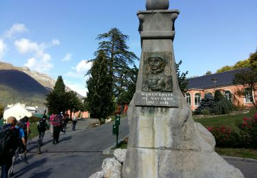
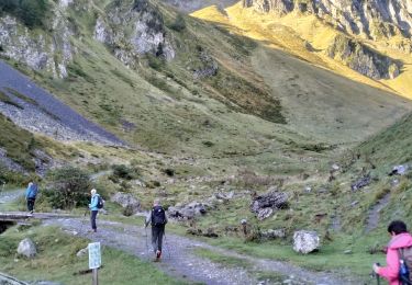
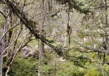
Randonnée Marche de 20 km à découvrir à Occitanie, Hautes-Pyrénées, Cauterets. Cette randonnée est proposée par SyMA.
Départ parking (payant) pont d'Espagne
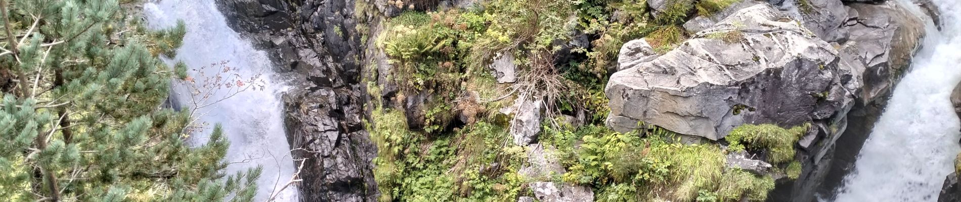
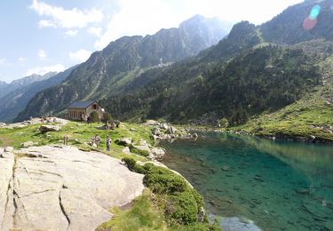
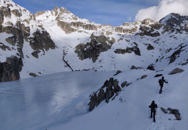
Vallée du Marcadeau jusque passerelles après le refuge Wallon/Marcadeau


Marche

Marche

Marche
Marche
Marche
Marche

Marche
Marche
Marche