


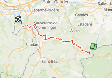

13,2 km | 23 km-effort

Utilisateur


Application GPS de randonnée GRATUITE
 SityTrail
IGN / Instituts géographiques
SityTrail World
Le monde est à vous
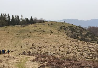
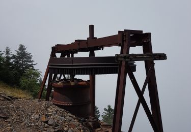
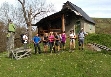
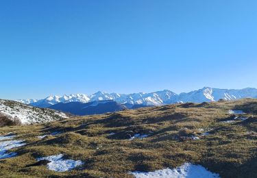
Randonnée Marche de 46 km à découvrir à Occitanie, Haute-Garonne, Portet-d'Aspet. Cette randonnée est proposée par LEGUE.
Beau jusqu’à 13h
Pluie vers 14h


Marche
Marche
Marche
Marche
Marche

V.T.T.

Marche
Marche
Marche