


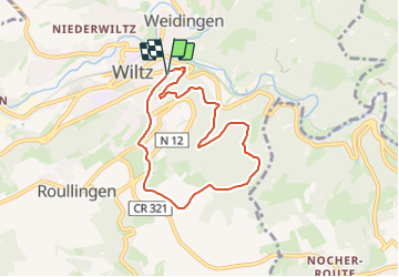

18,9 km | 26 km-effort


Utilisateur GUIDE


Application GPS de randonnée GRATUITE
 SityTrail
IGN / Instituts géographiques
SityTrail World
Le monde est à vous
Randonnée Marche de 6,5 km à découvrir à Inconnu, Canton Wiltz, Wiltz. Cette randonnée est proposée par mumu.larandonneuse.
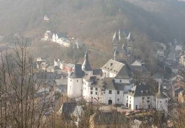
Passant le château et le jardin
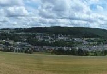
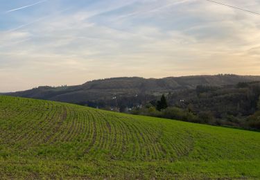
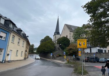
Cette randonnée commence au château, ou plutôt par le milieu de celui-ci. Cela vaut la peine dʼy jeter un coup dʼœil, car vous y apprendrez que le brassage est un art. Du haut de la tour des sorcières, le châtelain en armure vous salue et vous indique le chemin vers les forêts de Wiltz que vous traversez. De retour à la civilisation, le "Jardin de Wiltz" artistique vous attend. Ces jardins sont à voir !
www.visit-eislek.lu
Marche
Marche

Marche
Marche
A pied
Marche
Marche
Marche

V.T.T.
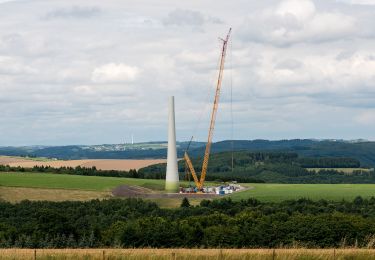
Parcours pratiquement réalisé dans son entièreté en effectuant nos 2 autres randos à Wiltz.