


06/10/2023

LaurentGILG
Utilisateur
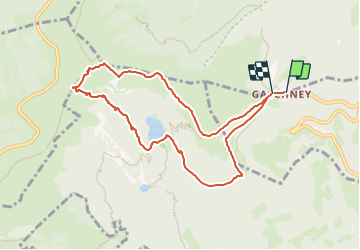

Longueur
8,7 km

Altitude max
1355 m

Dénivelé positif
513 m
Km-Effort
15,5 km

Altitude min
923 m

Dénivelé négatif
501 m
Boucle
Oui
Date de création :
2023-10-04 14:25:19.684
Dernière modification :
2023-10-04 14:31:00.227
3h31
Difficulté : Difficile

Application GPS de randonnée GRATUITE
 SityTrail
IGN / Instituts géographiques
SityTrail Plus
Le monde est à vous
À propos
Randonnée Marche de 8,7 km à découvrir à Grand Est, Haut-Rhin, Muhlbach-sur-Munster. Cette randonnée est proposée par LaurentGILG.
Localisation
Pays :
France
Région :
Grand Est
Département/Province :
Haut-Rhin
Commune :
Muhlbach-sur-Munster
Localité :
Unknown
Départ:(Dec)
Départ:(UTM)
354450 ; 5321954 (32U) N.
Commentaires