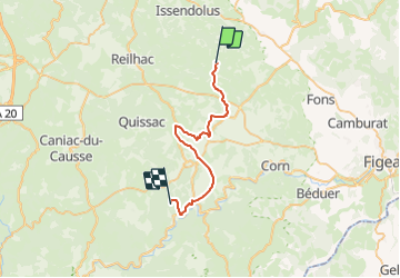


14,6 km | 17,3 km-effort


Utilisateur


Application GPS de randonnée GRATUITE
 SityTrail
IGN / Instituts géographiques
SityTrail World
Le monde est à vous
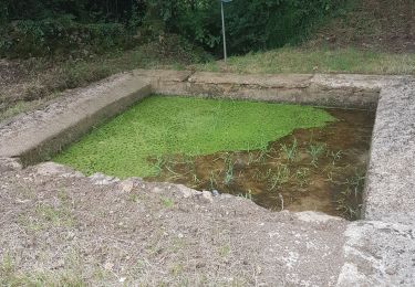
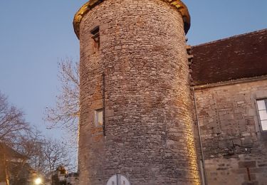
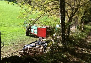
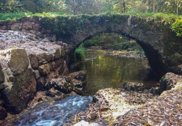
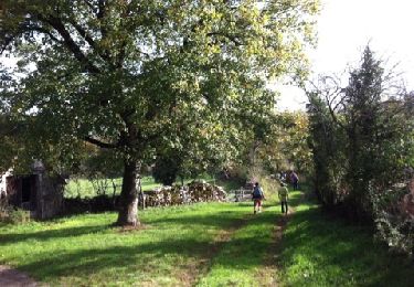
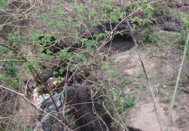
Randonnée Randonnée équestre de 30 km à découvrir à Occitanie, Lot, Saint-Simon. Cette randonnée est proposée par aeldin.
Marche
Marche
Marche