Randonnée Marche Villefranche-sur-Saône - Itinérant Beaujolais etape 1 Villefranche sur Saone - Le Flagolet - Photo

Itinérant Beaujolais etape 1 Villefranche sur Saone - Le Flagolet

 chessyca
chessyca

Utilisateur

© OpenStreetMap contributors
Longueur
Longueur
20 km
Altitude max
Altitude max
385 m
Dénivelé positif
Dénivelé positif
398 m
Km-Effort
Km-Effort  
25 km
Altitude min
Altitude min
183 m
Dénivelé négatif
Dénivelé négatif
227 m
Boucle
Boucle
Non
Date de création :
2023-10-16 09:42:41.012
Dernière modification :
2023-10-22 17:33:31.908

(0 Avis)

Marche
Marche
4h43
Difficulté : Moyen

Scannez ce code QR pour ouvrir la randonnée dans l'application SityTrail

Application GPS de randonnée GRATUITE

Logo SityTrail SityTrail

IGN / Instituts géographiques

Télécharger SityTrail sur l'App Store Télécharger SityTrail sur Google Play

Logo SityTrail SityTrail World

Le monde est à vous

Télécharger SityTrail sur l'App Store Télécharger SityTrail sur Google Play Télécharger SityTrail sur Huawei AppGallery

À propos

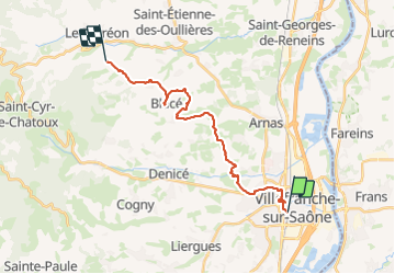
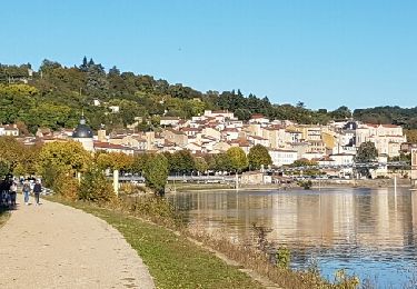
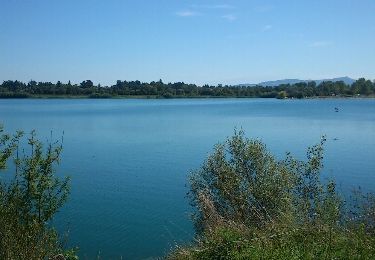
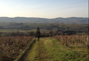
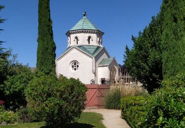
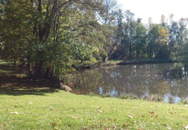
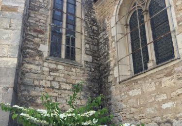
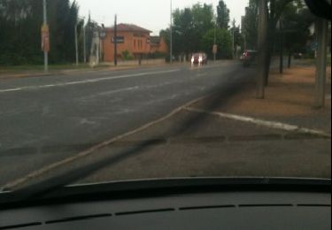
Randonnée Marche de 20 km à découvrir à Auvergne-Rhône-Alpes, Rhône, Villefranche-sur-Saône. Cette randonnée est proposée par chessyca.

Profil altimétrique

Photos

Localisation

Pays :
France
Région :
Auvergne-Rhône-Alpes
Département/Province :
Rhône
Commune :
Villefranche-sur-Saône
Localité :
Unknown
Départ:(UTM)
633290 ; 5093747 (31T) N.

Randonnées à proximité

Randonnée Marche Trévoux - TREVOUX  -  01 - Photo
Marche
AndreLACOMBE

Marche

Très facile
Trévoux, Auvergne-Rhône-Alpes, Ain, France
11,7 km | 12,6 km-effort
3h 26min
Oui
Randonnée Marche Anse - anse - Photo
Marche
aurel69

Marche

Très facile
Anse, Auvergne-Rhône-Alpes, Rhône, France
3,9 km | 4,3 km-effort
47min
Non
Randonnée Marche Limas - Limas - Photo
Marche
thierry13710

Marche

Facile
Limas, Auvergne-Rhône-Alpes, Rhône, France
5,7 km | 7,6 km-effort
1h 37min
Oui
Randonnée Marche Porte des Pierres Dorées - Chemin du Tacot (1) - Photo
Marche
patrickmarchais

Marche

Moyen
(1)
Porte des Pierres Dorées, Auvergne-Rhône-Alpes, Rhône, France
17,5 km | 22 km-effort
Inconnu
Non
Randonnée Marche Trévoux - ars - Photo
Marche
GALIBER

Marche

Difficile
Trévoux, Auvergne-Rhône-Alpes, Ain, France
12,6 km | 15 km-effort
4h 35min
Non
Randonnée Marche Jassans-Riottier - de Jassans à Ars - Photo
Marche
maclobar

Marche

Très facile
Jassans-Riottier, Auvergne-Rhône-Alpes, Ain, France
19,5 km | 23 km-effort
6h 1min
Oui
Randonnée Marche Jassans-Riottier - Jassans-Beauregard-Fareins (15 km - D. 177 m) - Photo
Marche
Thomasdanielle

Marche

Facile
Jassans-Riottier, Auvergne-Rhône-Alpes, Ain, France
15 km | 17,4 km-effort
3h 55min
Non
Randonnée Cheval Trévoux - test - Photo
Cheval
uvana

Cheval

Très facile
Trévoux, Auvergne-Rhône-Alpes, Ain, France
28 km | 31 km-effort
1h 15min
Non
Randonnée Marche Trévoux - Marche de printemps - Photo
Marche
Banaszak

Marche

Trévoux, Auvergne-Rhône-Alpes, Ain, France
11,5 km | 13,5 km-effort
2h 20min
Oui


Fermer
Mes abonnements