Sur le sentier du 9ème RAMA
jeanclaude12
Utilisateur
Longueur
6,2 km
Altitude max
757 m
Dénivelé positif
156 m
Km-Effort
8,3 km
Altitude min
665 m
Dénivelé négatif
156 m
Boucle
Oui
Date de création :
2015-02-10 00:00:00.0
Dernière modification :
2015-02-10 00:00:00.0
3h29
Difficulté : Facile
Application GPS de randonnée GRATUITE
À propos
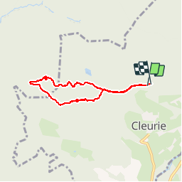
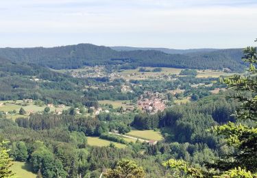
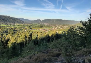
Randonnée Marche de 6,2 km à découvrir à Grand Est, Vosges, Cleurie. Cette randonnée est proposée par jeanclaude12.
Description
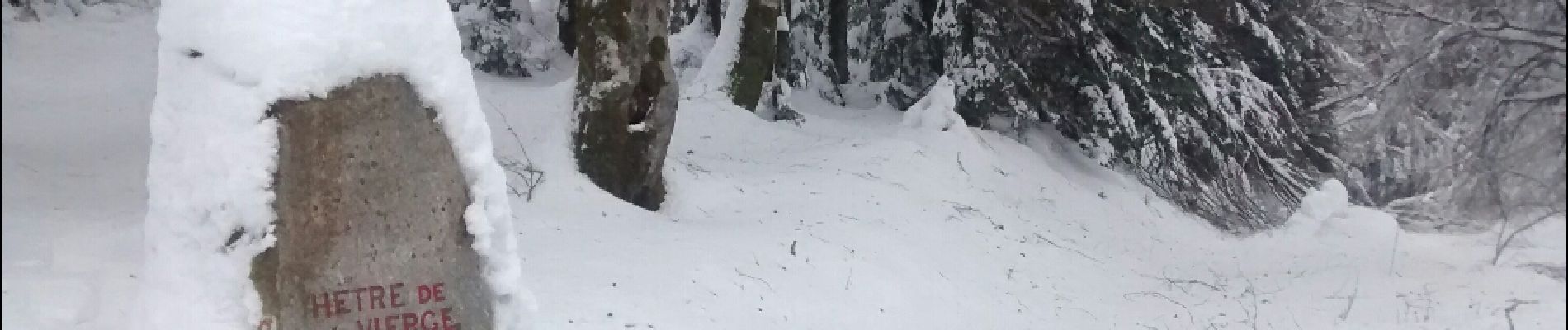
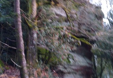
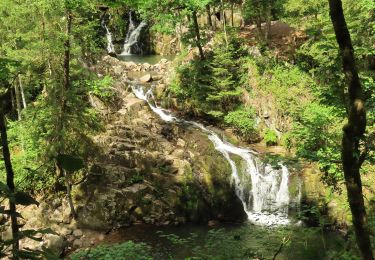
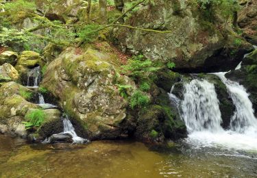
Belle randonnée à raquettes dans le Massif du Fossard sur le sentier dit "des stalactites de glace".
Localisation
Pays :
France
Région :
Grand Est
Département/Province :
Vosges
Commune :
Cleurie
Localité :
Unknown
Départ:(Dec)
Départ:(UTM)
326821 ; 5325435 (32U) N.
Commentaires
Randonnées à proximité
eloyes champ dolant
Marche
Moyen
(2)
Éloyes,
Grand Est,
Vosges,
France
8,2 km | 12,4 km-effort
2h 26min
Oui
carrière de Saint Amé
Marche
Moyen
(1)
Saint-Amé,
Grand Est,
Vosges,
France
8,6 km | 12,6 km-effort
2h 13min
Oui
2022-06-03 Rando CVA Le Tholy Gerbamont
Randonnée équestre
Très difficile
Le Tholy,
Grand Est,
Vosges,
France
28 km | 41 km-effort
6h 25min
Non
2022-06-02 Rando CVA Le Tholy Tête des Cuveaux
Randonnée équestre
Difficile
Le Tholy,
Grand Est,
Vosges,
France
28 km | 40 km-effort
5h 19min
Oui
2022-06-01 Rando CVA Le Tholy Boucle Cascades du Tendon
Randonnée équestre
Difficile
Le Tholy,
Grand Est,
Vosges,
France
24 km | 34 km-effort
5h 16min
Oui
rando chanoinesses 2024
Marche
Moyen
Saint-Étienne-lès-Remiremont,
Grand Est,
Vosges,
France
12,5 km | 18 km-effort
2h 32min
Non
20220324_rando_ST-ETIENNE-LES-REMIREMONT_N_Sur_les_pas_de_St_Romary
Marche
Très difficile
Saint-Étienne-lès-Remiremont,
Grand Est,
Vosges,
France
15,8 km | 25 km-effort
5h 36min
Oui
plaine cleurie - la bresse
Marche
Très difficile
Le Syndicat,
Grand Est,
Vosges,
France
23 km | 36 km-effort
5h 34min
Non