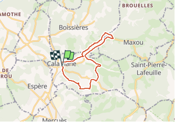

5 km | 7,2 km-effort


Utilisateur GUIDE


Application GPS de randonnée GRATUITE
 SityTrail
IGN / Instituts géographiques
SityTrail World
Le monde est à vous
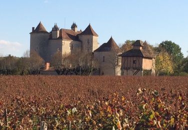
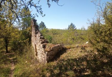
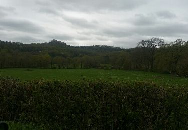
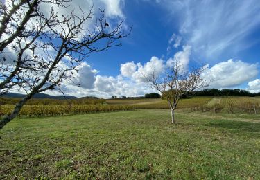
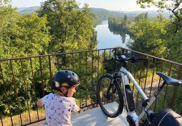
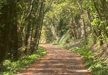
Randonnée Marche de 12 km à découvrir à Occitanie, Lot, Calamane. Cette randonnée est proposée par antignacs.


Marche
Moteur
Marche
V.T.C.
Marche


Marche

A pied