


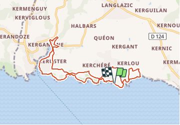

12 km | 13,7 km-effort


Utilisateur


Application GPS de randonnée GRATUITE
 SityTrail
IGN / Instituts géographiques
SityTrail World
Le monde est à vous
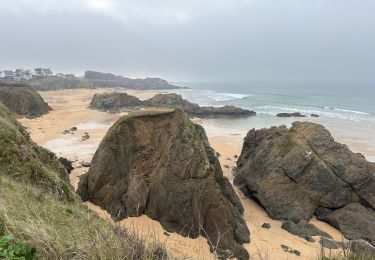
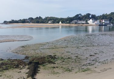
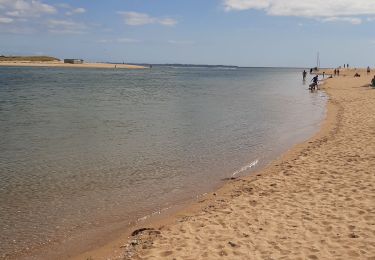
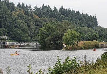
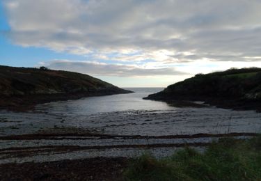
Randonnée A pied de 9,8 km à découvrir à Bretagne, Finistère, Clohars-Carnoët. Cette randonnée est proposée par babeth35.
Marche
Marche
Marche
Marche
Marche
Marche
Vélo électrique
Marche