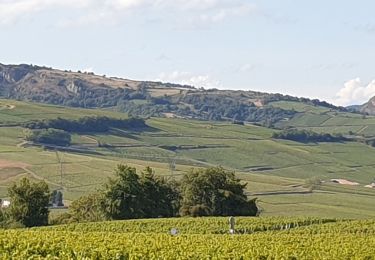
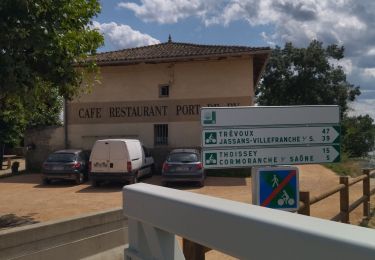
Randonnée  Cormoranche-sur-Saône - Variante  - Photo
 ophness
ophness

Utilisateur

© OpenStreetMap contributors
Longueur
Longueur
18,1 km
Altitude max
Altitude max
227 m
Dénivelé positif
Dénivelé positif
152 m
Km-Effort
Km-Effort  
20 km
Altitude min
Altitude min
169 m
Dénivelé négatif
Dénivelé négatif
141 m
Boucle
Boucle
Non
Date de création :
2023-12-15 11:54:51.0
Dernière modification :
2023-12-15 11:54:52.417

(0 Avis)


Scannez ce code QR pour ouvrir la randonnée dans l'application SityTrail

Application GPS de randonnée GRATUITE

Logo SityTrail SityTrail

IGN / Instituts géographiques

Télécharger SityTrail sur l'App Store Télécharger SityTrail sur Google Play

Logo SityTrail SityTrail World

Le monde est à vous

Télécharger SityTrail sur l'App Store Télécharger SityTrail sur Google Play Télécharger SityTrail sur Huawei AppGallery

À propos

Randonnée de 18,1 km à découvrir à Auvergne-Rhône-Alpes, Ain, Cormoranche-sur-Saône. Cette randonnée est proposée par ophness.

Profil altimétrique

Localisation

Pays :
France
Région :
Auvergne-Rhône-Alpes
Département/Province :
Ain
Commune :
Cormoranche-sur-Saône
Localité :
Unknown
Départ:(Dec)
Départ:(UTM)
640848 ; 5121936 (31T) N.

Randonnées à proximité

Randonnée Marche Vinzelles - Vinzelles - Photo
Marche
janussity

Marche

Facile
(1)
Vinzelles, Bourgogne-Franche-Comté, Saône-et-Loire, France
7,8 km | 10,1 km-effort
2h 6min
Oui
Randonnée Vélo de route Cormoranche-sur-Saône - 01 voie verte et bleue macon - Photo
Vélo de route
himba26100

Vélo de route

Moyen
Cormoranche-sur-Saône, Auvergne-Rhône-Alpes, Ain, France
74 km | 84 km-effort
4h 45min
Oui
Randonnée Marche La Chapelle-de-Guinchay - 10 - Photo
Marche
Chrystele Lafont

Marche

Moyen
La Chapelle-de-Guinchay, Bourgogne-Franche-Comté, Saône-et-Loire, France
9,8 km | 11,2 km-effort
2h 41min
Oui
Randonnée Marche La Chapelle-de-Guinchay - massonay - Photo
Marche
Chrystele Lafont

Marche

Moyen
La Chapelle-de-Guinchay, Bourgogne-Franche-Comté, Saône-et-Loire, France
9 km | 9,7 km-effort
2h 19min
Oui
Randonnée Marche La Chapelle-de-Guinchay - creches - Photo
Marche
Chrystele Lafont

Marche

Difficile
La Chapelle-de-Guinchay, Bourgogne-Franche-Comté, Saône-et-Loire, France
11,3 km | 12,2 km-effort
2h 53min
Oui
Randonnée Marche Mâcon - Loché roche de Vergisson Roche de Solutré mont de Pouilly - Photo
Marche
Jackoyo

Marche

Moyen
Mâcon, Bourgogne-Franche-Comté, Saône-et-Loire, France
28 km | 39 km-effort
7h 1min
Oui
Randonnée Marche La Chapelle-de-Guinchay - 8 - Photo
Marche
Chrystele Lafont

Marche

Moyen
La Chapelle-de-Guinchay, Bourgogne-Franche-Comté, Saône-et-Loire, France
7,6 km | 8,9 km-effort
1h 58min
Oui
Randonnée Attelage Garnerans - Beau Dimanche 2023 attelages-16167373 - Photo
Attelage
Ferme-Passion

Attelage

Très facile
Garnerans, Auvergne-Rhône-Alpes, Ain, France
28 km | 32 km-effort
Inconnu
Oui
Randonnée Randonnée équestre Laiz - 2023-05-25_09h39m05_boucle_30_km_vonnas-7413273-1684955259-744 - Photo
Randonnée équestre
azipat

Randonnée équestre

Difficile
Laiz, Auvergne-Rhône-Alpes, Ain, France
29 km | 33 km-effort
4h 21min
Oui


Fermer
Mes abonnements