


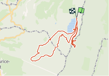

14,5 km | 20 km-effort

Utilisateur


Application GPS de randonnée GRATUITE
 SityTrail
IGN / Instituts géographiques
SityTrail World
Le monde est à vous
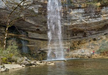
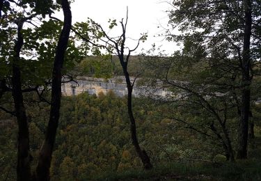
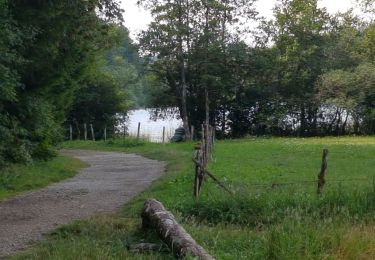
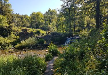
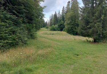
Randonnée Marche de 11,2 km à découvrir à Bourgogne-Franche-Comté, Jura, Bonlieu. Cette randonnée est proposée par Jackoyo .


Marche

Marche

Marche
Marche
Marche
Marche
Marche
Marche
Marche