Randonnée Marche Saint-Georges-les-Bains - Saint Georges les Bains - Photo
© OpenStreetMap contributors
Longueur
Longueur
16,4 km
Altitude max
Altitude max
518 m
Dénivelé positif
Dénivelé positif
527 m
Km-Effort
Km-Effort  
23 km
Altitude min
Altitude min
160 m
Dénivelé négatif
Dénivelé négatif
528 m
Boucle
Boucle
Oui
Date de création :
2024-01-14 08:09:29.43
Dernière modification :
2024-01-15 10:31:32.656

(0 Avis)

Marche
Marche
5h19
Difficulté : Très difficile

Scannez ce code QR pour ouvrir la randonnée dans l'application SityTrail

Application GPS de randonnée GRATUITE

Logo SityTrail SityTrail

IGN / Instituts géographiques

Télécharger SityTrail sur l'App Store Télécharger SityTrail sur Google Play

Logo SityTrail SityTrail World

Le monde est à vous

Télécharger SityTrail sur l'App Store Télécharger SityTrail sur Google Play Télécharger SityTrail sur Huawei AppGallery

À propos

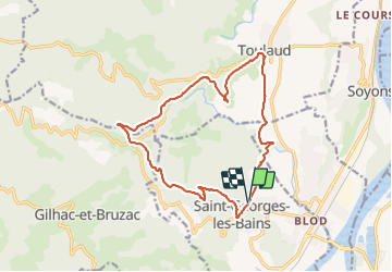
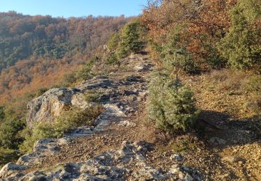
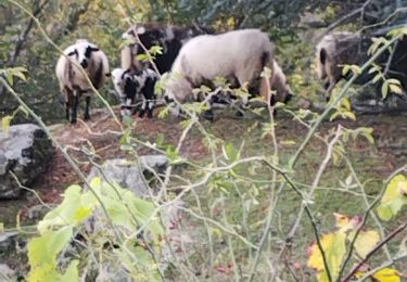
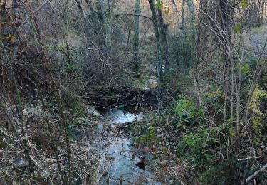
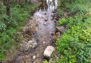
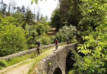
Randonnée Marche de 16,4 km à découvrir à Auvergne-Rhône-Alpes, Ardèche, Saint-Georges-les-Bains. Cette randonnée est proposée par Jean Claude Marchand.

Description

St Georges-les-Bains, Serre de Planèze et les sculpteurs sur pierre, Col du Rotisson, Serre Chalamant, Toulaud.

Profil altimétrique

Photos

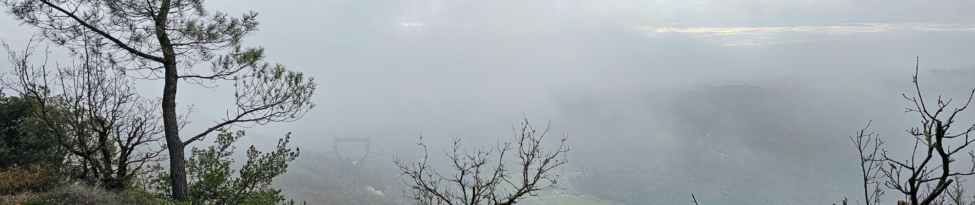
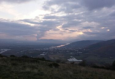
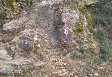
21 photos au total. Cliquez sur une photo pour les afficher toutes dans la galerie.

Localisation

Pays :
France
Région :
Auvergne-Rhône-Alpes
Département/Province :
Ardèche
Commune :
Saint-Georges-les-Bains
Localité :
Unknown
Départ:(Dec)
Départ:(UTM)
643148 ; 4969370 (31T) N.

Randonnées à proximité

Randonnée Marche Beauchastel - Beauchastel. / Pierre Gourde  - Photo
Marche
patchil

Marche

Moyen
(3)
Beauchastel, Auvergne-Rhône-Alpes, Ardèche, France
21 km | 30 km-effort
6h 40min
Oui
Randonnée Marche Saint-Laurent-du-Pape - Pierre gourde TeD Christian  - Photo
Marche
collot

Marche

Facile
(1)
Saint-Laurent-du-Pape, Auvergne-Rhône-Alpes, Ardèche, France
8,6 km | 13,7 km-effort
3h 1min
Oui
Randonnée Marche  - boucle rotisson col de mure - Photo
Marche
tompaulet

Marche

Moyen
(1)
, Auvergne-Rhône-Alpes, Ardèche, France
16,4 km | 23 km-effort
4h 0min
Oui
Randonnée Marche Toulaud - 07 toulaud  - Photo
Marche
himba26100

Marche

Très facile
Toulaud, Auvergne-Rhône-Alpes, Ardèche, France
7,1 km | 10,9 km-effort
2h 24min
Oui
Randonnée Marche Saint-Georges-les-Bains -  col de Rotison - Photo
Marche
jphugon

Marche

Difficile
Saint-Georges-les-Bains, Auvergne-Rhône-Alpes, Ardèche, France
9,4 km | 14,4 km-effort
6h 7min
Oui
Randonnée Marche Toulaud - Gorges de l'Embroye  - Photo
Marche
cousam

Marche

Difficile
Toulaud, Auvergne-Rhône-Alpes, Ardèche, France
7,3 km | 10,5 km-effort
2h 45min
Oui
Randonnée Marche  - Gilhac et Bruzac - Photo
Marche
AIGUIER

Marche

Moyen
, Auvergne-Rhône-Alpes, Ardèche, France
17,9 km | 25 km-effort
8h 4min
Oui
Randonnée Marche Saint-Laurent-du-Pape - 07 st Laurent du pape P Gourde 060521 - Photo
Marche
himba26100

Marche

Facile
(1)
Saint-Laurent-du-Pape, Auvergne-Rhône-Alpes, Ardèche, France
13,9 km | 22 km-effort
5h 56min
Oui
Randonnée V.T.T. Toulaud -  Valence - Arcens - Photo
V.T.T.
tracegps

V.T.T.

Très difficile
Toulaud, Auvergne-Rhône-Alpes, Ardèche, France
63 km | 90 km-effort
5h 0min
Non


Fermer
Mes abonnements