


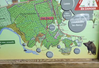
13,3 km | 17,8 km-effort


Utilisateur


Application GPS de randonnée GRATUITE
 SityTrail
IGN / Instituts géographiques
SityTrail World
Le monde est à vous
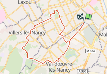
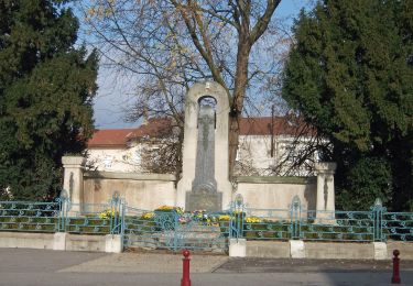
Randonnée Marche de 10,3 km à découvrir à Grand Est, Meurthe-et-Moselle, Vandœuvre-lès-Nancy. Cette randonnée est proposée par DanielROLLET.
2024 01 20 - 13h40 à 16h00 - Avec Marie
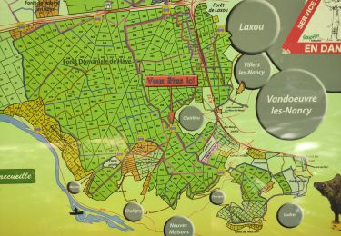
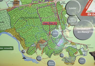
Contrôle MGN C16
Départ/retour du domicile
Trés beau temps sec (0°)

A pied

Marche
Marche
Marche

Marche
Marche
A pied
A pied
Marche