


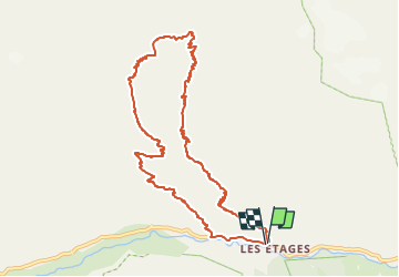

16 km | 31 km-effort


Utilisateur


Application GPS de randonnée GRATUITE
 SityTrail
IGN / Instituts géographiques
SityTrail World
Le monde est à vous
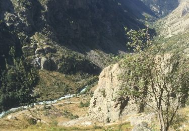
Randonnée Marche de 11 km à découvrir à Auvergne-Rhône-Alpes, Isère, Saint-Christophe-en-Oisans. Cette randonnée est proposée par hugo26.
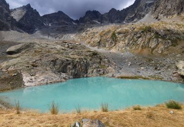
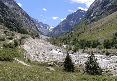
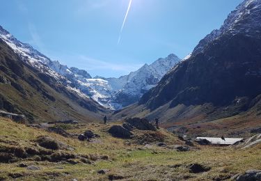
Belle rando au départ des Etages route de la Bérarde.
Attention cette balade est pour les personnes entrainés à la haute montagne et à le pente.
Marche
Marche
Marche

Marche

Marche

Marche

Marche

Marche
Marche