


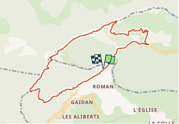

9,8 km | 17,3 km-effort


Utilisateur


Application GPS de randonnée GRATUITE
 SityTrail
IGN / Instituts géographiques
SityTrail World
Le monde est à vous
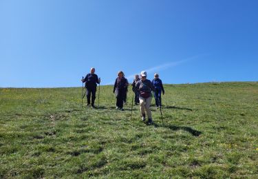
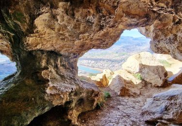
Randonnée Marche de 10,9 km à découvrir à Provence-Alpes-Côte d'Azur, Alpes-de-Haute-Provence, Entrepierres. Cette randonnée est proposée par RobinMicheline.
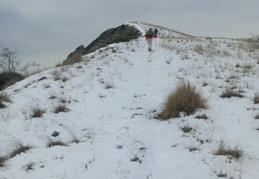
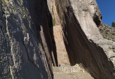
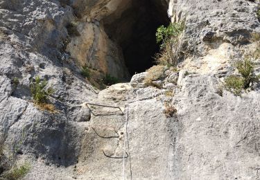
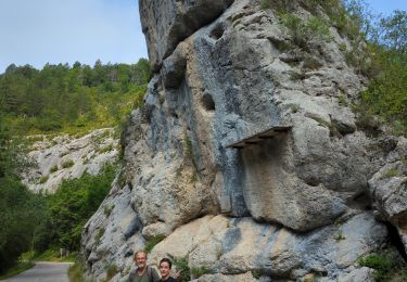
Passages délicats montée au pied de Gache


Marche

Marche
Marche
Marche
Marche
Marche
Marche

Marche
Marche