Randonnée Marche Saint-Waast - Circuit de Saint Waast La Vallée  - Photo

Circuit de Saint Waast La Vallée

 corsinou
corsinou

Utilisateur

© OpenStreetMap contributors
Longueur
Longueur
11,7 km
Altitude max
Altitude max
130 m
Dénivelé positif
Dénivelé positif
106 m
Km-Effort
Km-Effort  
13,1 km
Altitude min
Altitude min
84 m
Dénivelé négatif
Dénivelé négatif
106 m
Boucle
Boucle
Oui
Date de création :
2015-03-13 00:00:00.0
Dernière modification :
2015-03-13 00:00:00.0

(0 Avis)

Marche
Marche
2h55
Difficulté : Facile

Scannez ce code QR pour ouvrir la randonnée dans l'application SityTrail

Application GPS de randonnée GRATUITE

Logo SityTrail SityTrail

IGN / Instituts géographiques

Télécharger SityTrail sur l'App Store Télécharger SityTrail sur Google Play

Logo SityTrail SityTrail World

Le monde est à vous

Télécharger SityTrail sur l'App Store Télécharger SityTrail sur Google Play Télécharger SityTrail sur Huawei AppGallery

À propos

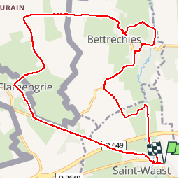
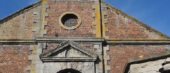
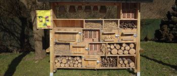
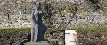
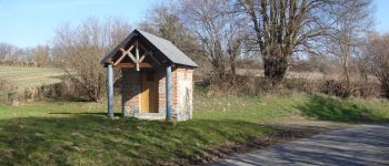
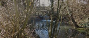
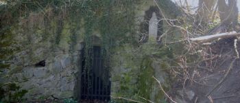
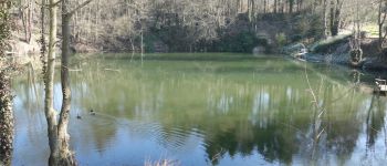
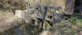
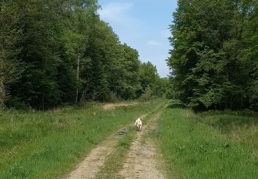
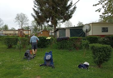
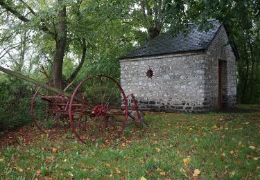
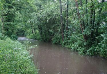
Randonnée Marche de 11,7 km à découvrir à Hauts-de-France, Nord, Saint-Waast. Cette randonnée est proposée par corsinou.

Profil altimétrique

Photos

Points d'intérêt

Point d'intérêt Saint-Waast -  Saint Waast la Vallée - Photo
corsinou
Point d'intérêt Honnelles - Borne frontière - Photo
corsinou
HONNELLES 
Point d'intérêt Honnelles - Château d'eau - Photo
corsinou
HONNELLES 
Point d'intérêt Bettrechies - Eglise de Bettrechies - Photo
corsinou
Point d'intérêt Bettrechies - Hôtel à insecte - Photo
corsinou
BETTRECHIES 
Point d'intérêt Bettrechies - Statut de Salomé - Photo
corsinou
BETTRECHIES 
Point d'intérêt Bettrechies - Oratoire - Photo
corsinou
BETTRECHIES 
Point d'intérêt Saint-Waast - Point 10 - Photo
corsinou
SAINT-WAAST 
Point d'intérêt Saint-Waast - Ecluse  - Photo
corsinou
SAINT-WAAST 
Point d'intérêt Saint-Waast - Vierge - Photo
corsinou
SAINT-WAAST 
Point d'intérêt Saint-Waast - Point 13 - Photo
corsinou
SAINT-WAAST 
Point d'intérêt Saint-Waast - Etang - Photo
corsinou
SAINT-WAAST 
Point d'intérêt Saint-Waast - Ecluse - Photo
corsinou
SAINT-WAAST 
Point d'intérêt Saint-Waast - . - Photo
corsinou
SAINT-WAAST 
Point d'intérêt La Flamengrie - . - Photo
corsinou
LA FLAMENGRIE 
Point d'intérêt La Flamengrie - . - Photo
corsinou
LA FLAMENGRIE 
Point d'intérêt Honnelles - . - Photo
corsinou
HONNELLES 
Point d'intérêt Honnelles - . - Photo
corsinou
HONNELLES 
Point d'intérêt Bettrechies - . - Photo
corsinou
BETTRECHIES 
Point d'intérêt Bettrechies - . - Photo
corsinou
BETTRECHIES 
Point d'intérêt Bettrechies - . - Photo
corsinou
BETTRECHIES 
Point d'intérêt Bettrechies - . - Photo
corsinou
BETTRECHIES 
Point d'intérêt Bettrechies - . - Photo
corsinou
BETTRECHIES 
Point d'intérêt Bettrechies - . - Photo
corsinou
BETTRECHIES 
Point d'intérêt Bettrechies - . - Photo
corsinou
BETTRECHIES 
Point d'intérêt Bettrechies - . - Photo
corsinou
BETTRECHIES 
Point d'intérêt Saint-Waast - . - Photo
corsinou
SAINT-WAAST 
Point d'intérêt Saint-Waast - . - Photo
corsinou
SAINT-WAAST 
Point d'intérêt Saint-Waast - . - Photo
corsinou
SAINT-WAAST 

Localisation

Pays :
France
Région :
Hauts-de-France
Département/Province :
Nord
Commune :
Saint-Waast
Localité :
Unknown
Départ:(Dec)
Départ:(UTM)
553628 ; 5572707 (31U) N.

Randonnées à proximité

Randonnée Marche Honnelles - Cani-Rando au Caillou qui Bique  - Photo
Marche
Pascal Catenne

Marche

Très facile
(1)
Honnelles, Wallonie, Hainaut, Belgique
3,3 km | 4 km-effort
1h 25min
Oui
Randonnée Marche Gommegnies - Le chemin de la Licorne (Gommegnies) - Photo
Marche
tracegps

Marche

Moyen
(2)
Gommegnies, Hauts-de-France, Nord, France
12,1 km | 13,2 km-effort
3h 0min
Oui
Randonnée Marche Bettrechies - Balisage des Carriers automne  - Photo
Marche
Morelli

Marche

Très facile
(2)
Bettrechies, Hauts-de-France, Nord, France
6,1 km | 7,2 km-effort
2h 1min
Oui
Randonnée Marche Hon-Hergies - Circuit des machines anciennes - Hon-Hergies - Photo
Marche
tracegps

Marche

Facile
(2)
Hon-Hergies, Hauts-de-France, Nord, France
8,5 km | 9,5 km-effort
2h 10min
Oui
Randonnée Marche Gommegnies - Cheval blanc Trechon - Photo
Marche
ayumi atsu

Marche

Facile
Gommegnies, Hauts-de-France, Nord, France
7,3 km | 8,2 km-effort
1h 34min
Oui
Randonnée Marche Honnelles - de Roisin à Villiers Sire Nicole - Photo
Marche
jeff2

Marche

Moyen
Honnelles, Wallonie, Hainaut, Belgique
33 km | 37 km-effort
11h 29min
Non
Randonnée A pied Gussignies - Balade le long de la Grande Honnelle - Photo
A pied
PRO

A pied

Facile
Gussignies, Hauts-de-France, Nord, France
9,7 km | 11,5 km-effort
2h 36min
Oui
Randonnée A pied Bettrechies - La pierre, or bleu de la vallée du marbre - Photo
A pied
PRO

A pied

Facile
(1)
Bettrechies, Hauts-de-France, Nord, France
6 km | 7,3 km-effort
1h 39min
Oui
Randonnée A pied Gussignies - La vallée de l'hogneau - Photo
A pied
Templeuveenmarche

A pied

Facile
(1)
Gussignies, Hauts-de-France, Nord, France
12,6 km | 14,9 km-effort
3h 0min
Oui


Fermer
Mes abonnements