


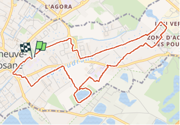

8,9 km | 10 km-effort


Utilisateur


Application GPS de randonnée GRATUITE
 SityTrail
IGN / Instituts géographiques
SityTrail World
Le monde est à vous
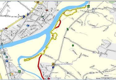
Randonnée Marche de 6,7 km à découvrir à Occitanie, Haute-Garonne, Villeneuve-Tolosane. Cette randonnée est proposée par jab31.
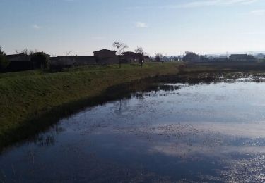
en longeant les canalets
Marche

V.T.T.
Marche

Vélo électrique
Vélo
Vélo
V.T.T.
Marche
Marche