


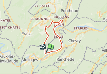

18 km | 26 km-effort


Utilisateur


Application GPS de randonnée GRATUITE
 SityTrail
IGN / Instituts géographiques
SityTrail World
Le monde est à vous
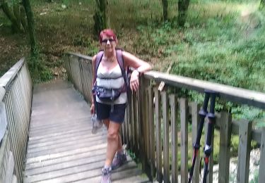
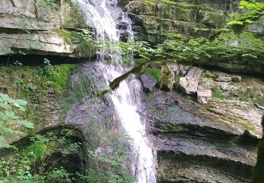
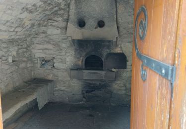
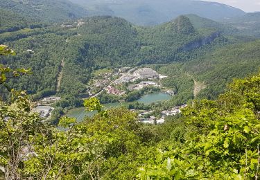
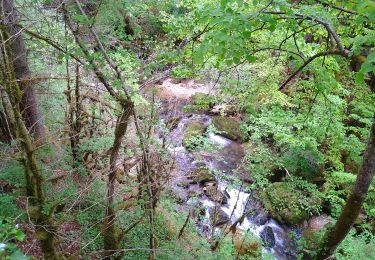
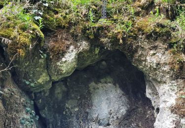
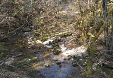
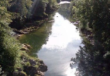
Randonnée Marche de 9,7 km à découvrir à Bourgogne-Franche-Comté, Jura, Chassal-Molinges. Cette randonnée est proposée par Jackoyo .
Marche
Marche

Marche
Marche
Marche
Marche
Marche
Marche
Trail