Circuit Alsace Vosges Plainfaing Orbey
Tourisme Equestre Alsace
Promouvoir le Tourisme Equestre en Alsace GUIDE+
Longueur
30 km
Altitude max
1303 m
Dénivelé positif
1288 m
Km-Effort
46 km
Altitude min
559 m
Dénivelé négatif
1105 m
Boucle
Non
Date de création :
2024-02-28 16:42:17.689
Dernière modification :
2024-02-28 16:48:17.648
6h05
Difficulté : Moyen
Application GPS de randonnée GRATUITE
À propos
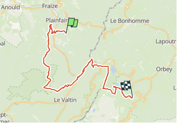
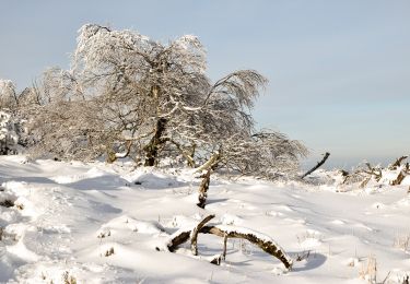
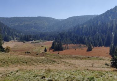
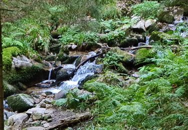
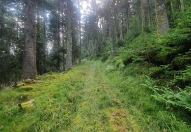
Randonnée Randonnée équestre de 30 km à découvrir à Grand Est, Vosges, Plainfaing. Cette randonnée est proposée par Tourisme Equestre Alsace.
Description
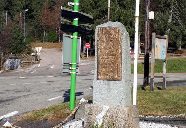
Circuit Entre l’Alsace et les Vosges : Etape entre Plainfaing et Orbey
Localisation
Pays :
France
Région :
Grand Est
Département/Province :
Vosges
Commune :
Plainfaing
Localité :
Unknown
Départ:(Dec)
Départ:(UTM)
353163 ; 5335977 (32U) N.
Commentaires
Randonnées à proximité
Tête des faux .
Marche
Moyen
(1)
Le Bonhomme,
Grand Est,
Haut-Rhin,
France
11,9 km | 16,6 km-effort
3h 46min
Oui
Chapelle de mangegoutte
Marche
Facile
(3)
Mandray,
Grand Est,
Vosges,
France
6,1 km | 9 km-effort
1h 54min
Oui
Lac blanc col du calvaire
Marche
Le Bonhomme,
Grand Est,
Haut-Rhin,
France
5 km | 7,2 km-effort
2h 13min
Oui
Tour du Lac Blanc
A pied
Facile
Orbey,
Grand Est,
Haut-Rhin,
France
4,7 km | 7,9 km-effort
1h 47min
Non
Col du calvaire Bonhomme Lac Blanc
Marche
Facile
Le Bonhomme,
Grand Est,
Haut-Rhin,
France
15 km | 22 km-effort
3h 9min
Oui
2021-10-09 Marche St Die Metzeral Jour 2
Marche
Très difficile
Ban-sur-Meurthe-Clefcy,
Grand Est,
Vosges,
France
26 km | 40 km-effort
7h 23min
Non
20210930_rando_Yol_Roches_de_Valtin
Marche
Très difficile
Plainfaing,
Grand Est,
Vosges,
France
14,2 km | 24 km-effort
5h 32min
Oui
mp fraize 2021
Marche
Très difficile
Fraize,
Grand Est,
Vosges,
France
21 km | 32 km-effort
6h 14min
Oui