


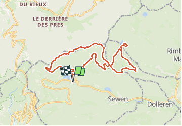


10,5 km | 17,7 km-effort

Utilisateur


Application GPS de randonnée GRATUITE
 SityTrail
IGN / Instituts géographiques
SityTrail World
Le monde est à vous
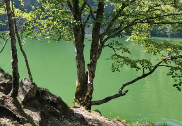
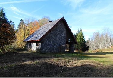
Randonnée Marche de 18,9 km à découvrir à Grand Est, Haut-Rhin, Sewen. Cette randonnée est proposée par boubou68.
Merci Alain.
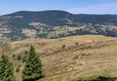
Belle rando exigeante par le profil et le terrain très caillouteux..
Les genoux dans les descentes sont très sollicités...La météo radieuse était au rendez-vous..
A bientôt.


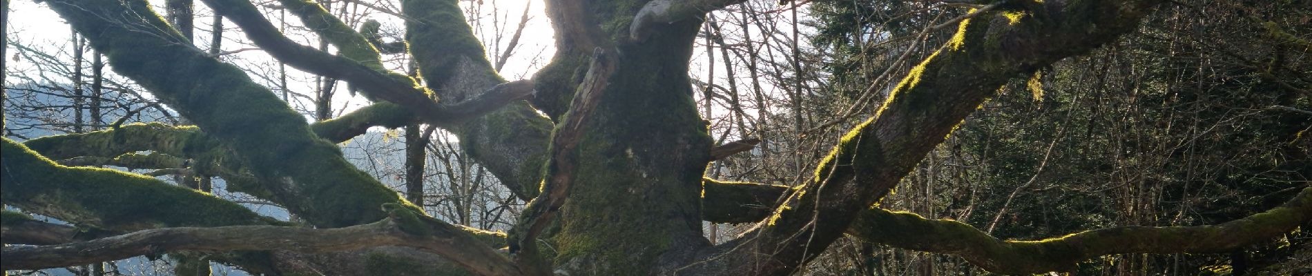
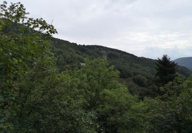
27 photos au total. Cliquez sur une photo pour les afficher toutes dans la galerie.

Marche

Marche
Marche

Marche

Marche

V.T.T.
Marche
Marche
Marche