


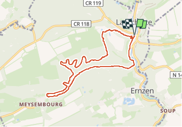

12,5 km | 16,5 km-effort

Utilisateur


Application GPS de randonnée GRATUITE
 SityTrail
IGN / Instituts géographiques
SityTrail World
Le monde est à vous
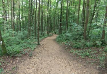
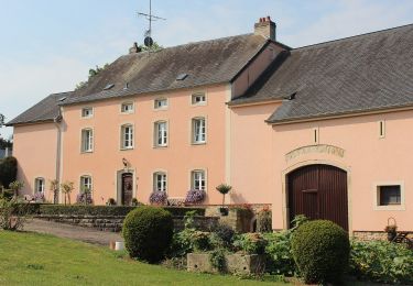
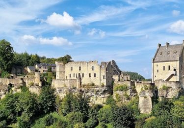
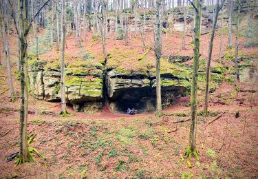
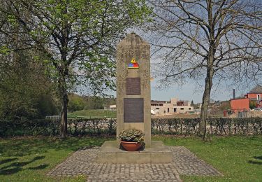
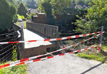
Randonnée Marche de 8,9 km à découvrir à Inconnu, Canton Mersch, Larochette. Cette randonnée est proposée par René Chapelle.
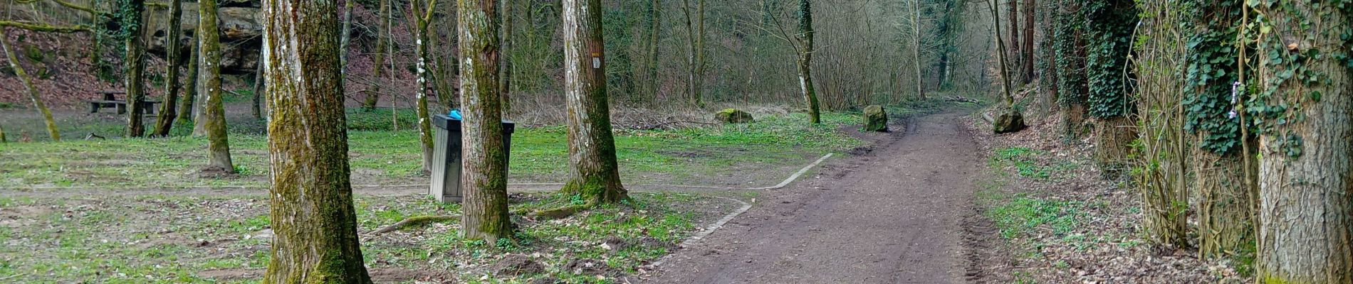
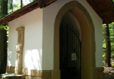
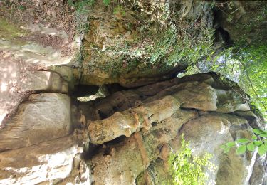
balade facile arrivée nombreux escaliers

Marche
Marche
A pied
A pied
A pied
A pied
Marche
A pied
A pied