


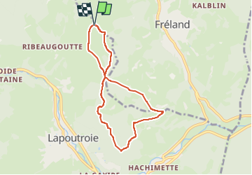

11,1 km | 16,6 km-effort

Utilisateur


Application GPS de randonnée GRATUITE
 SityTrail
IGN / Instituts géographiques
SityTrail World
Le monde est à vous
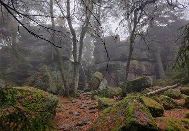
Randonnée Marche de 6,6 km à découvrir à Grand Est, Haut-Rhin, Fréland. Cette randonnée est proposée par Hub6877.
Club Vosgien Labaroche - Randonnée du lundi 25/03/2024 - Col de Chamont
Guide: Marie -Laurence MOLL
20 participants
Météo: Ensoleillé - Temp: 10°


Marche
Marche
Marche
Marche
Randonnée équestre
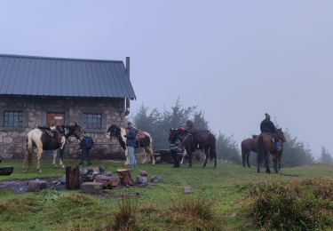
Randonnée équestre
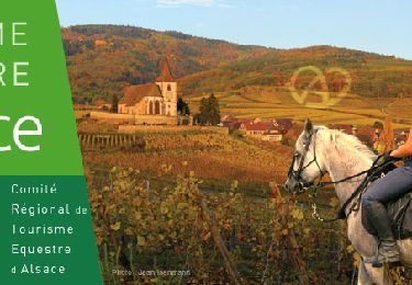
Randonnée équestre

A pied
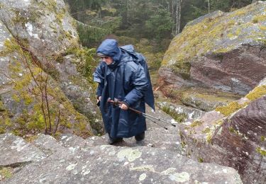
Marche