


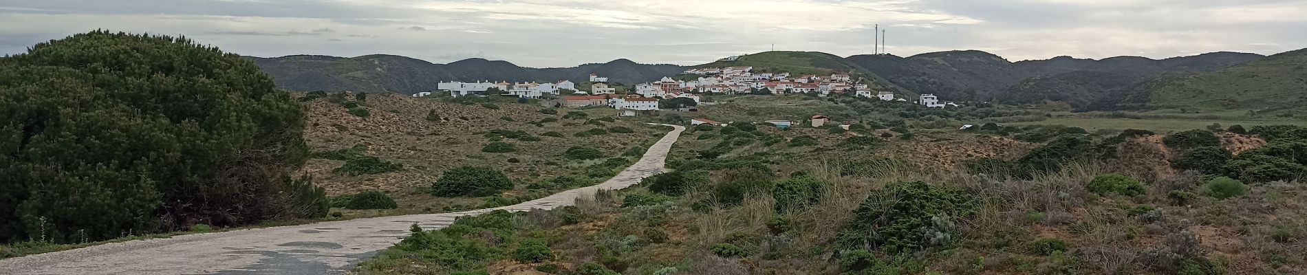
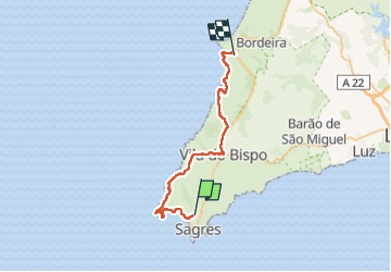
Sagres cap St VINCENT Carrapateria

jeff2
Utilisateur


12h35
Difficulté : Moyen

Application GPS de randonnée GRATUITE
 SityTrail
IGN / Instituts géographiques
SityTrail Plus
Le monde est à vous
À propos
Randonnée Marche de 40 km à découvrir à Algarve, Faro. Cette randonnée est proposée par jeff2.
Description
Grand beau, côte exceptionnelle, sous la tente face à la mer. Prochaine étape camping dans 25 kms. Je ne sais pas où mais je vais trouver.
"Notre confort est notre pire ennemi" E. S.
Photos


28 photos au total. Cliquez sur une photo pour les afficher toutes dans la galerie.
Localisation
Commentaires