


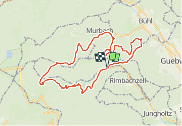

22 km | 35 km-effort

Utilisateur


Application GPS de randonnée GRATUITE
 SityTrail
IGN / Instituts géographiques
SityTrail World
Le monde est à vous
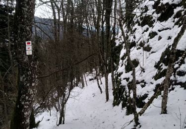
Randonnée Marche de 21 km à découvrir à Grand Est, Haut-Rhin, Soultz-Haut-Rhin. Cette randonnée est proposée par boubou68.
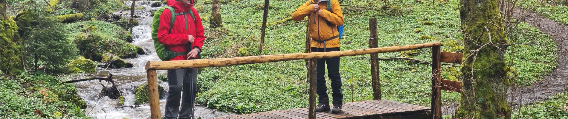
Belle petite Rando sportive avec Alain et Hubi...Petite pluie vers 11H..
pluie torrentielle et vent pendant la pause repas dans l'Abri' au Col du Judenhutte
Descente ensoleillée...Contents de notre journée.
A bientôt les amis.


Marche

A pied

Marche
Marche

Marche

Marche
Raquettes à neige
Marche