


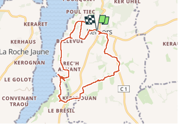

32 km | 37 km-effort

Utilisateur


Application GPS de randonnée GRATUITE
 SityTrail
IGN / Instituts géographiques
SityTrail World
Le monde est à vous
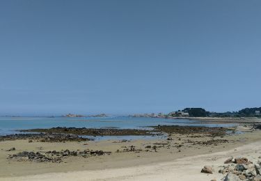
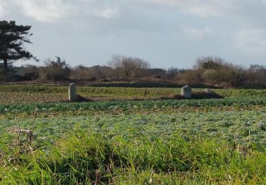
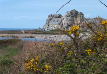
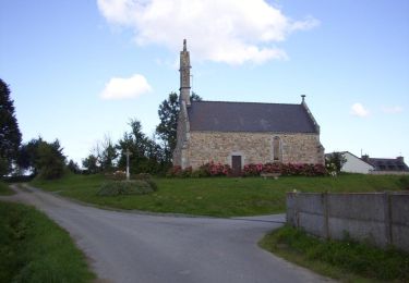
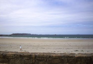
Randonnée Marche de 9 km à découvrir à Bretagne, Côtes-d'Armor, Kerbors. Cette randonnée est proposée par Vasseur Jean Marc.


Vélo électrique
Marche
Marche
Marche

Marche
Marche
Marche
Marche